Aviation Training Experts™

other

Aeronautical Chart Users’ Guide

FAA Chart Users’ Guide Version 9 July 2026

VFR Sectional and Terminal Area Charts

Responsive VFR Sectional and Terminal Area Chart legends for airports, radio aids, airspace, procedures, culture, hydrography, and relief.

Boxed notes shown adjacent
to route.

IFR Routes

Arrival
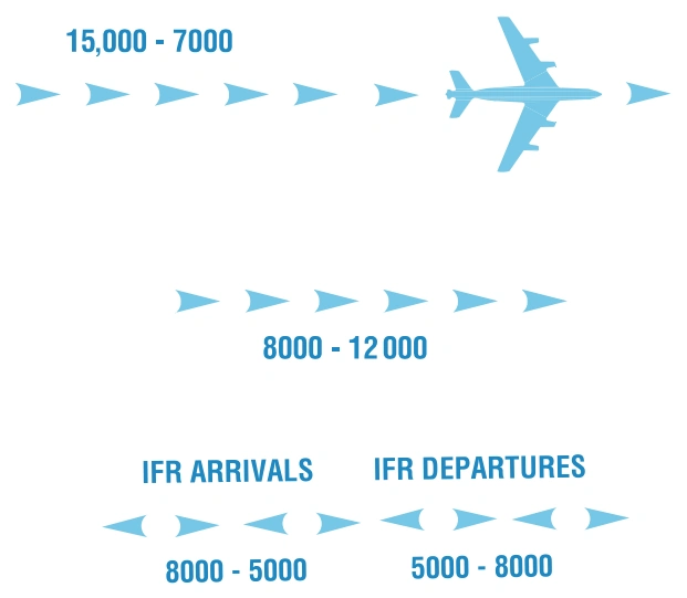
FAA aeronautical chart visual associated with “IFR arrival/departure transition arrows with altitude ranges” (source page 31).
IFR arrival/departure transition arrows with altitude ranges — source page 31.
Departure
Arrival/Departure
TAC only

Special Security Notice Permanent Continuous Flight

Restriction Areas

FAA aeronautical chart visual associated with “Disneyland Theme Park flight-restriction area — see note for requirements” (source page 31).
Disneyland Theme Park flight-restriction area — see note for requirements — source page 31.

Sporting Event Temporary Flight Restriction (TFR) Sites

FAA aeronautical chart visual associated with “Stadium temporary-flight-restriction landmark” (source page 31).
Stadium temporary-flight-restriction landmark — source page 31.

National Defense Airspace Temporary Flight Restriction (TFR) Areas

FAA aeronautical chart visual associated with “National Defense Airspace temporary-TFR hatched boundary” (source page 31).
National Defense Airspace temporary-TFR hatched boundary — source page 31.
FAA aeronautical chart visual associated with “Dallas National Defense Airspace TFR — Check NOTAMs” (source page 31).
Dallas National Defense Airspace TFR — Check NOTAMs — source page 31.

Space Operations Area (FAR Part 91.143)
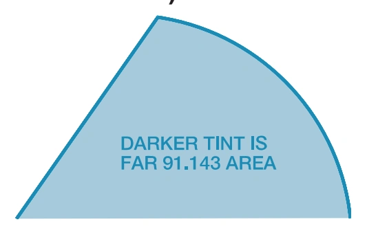
FAA aeronautical chart visual associated with “Space-operations area — darker tint denotes FAR 91.143 area” (source page 31).
Space-operations area — darker tint denotes FAR 91.143 area — source page 31.

Miscellaneous Activity Areas

FAA aeronautical chart visual associated with “Aerobatic Practice Area” (source page 31).
Aerobatic Practice Area — source page 31.