Aviation Training Experts™

other

Aeronautical Chart Users’ Guide

FAA Chart Users’ Guide Version 9 July 2026

VFR Sectional and Terminal Area Charts

Responsive VFR Sectional and Terminal Area Chart legends for airports, radio aids, airspace, procedures, culture, hydrography, and relief.

Auxiliary

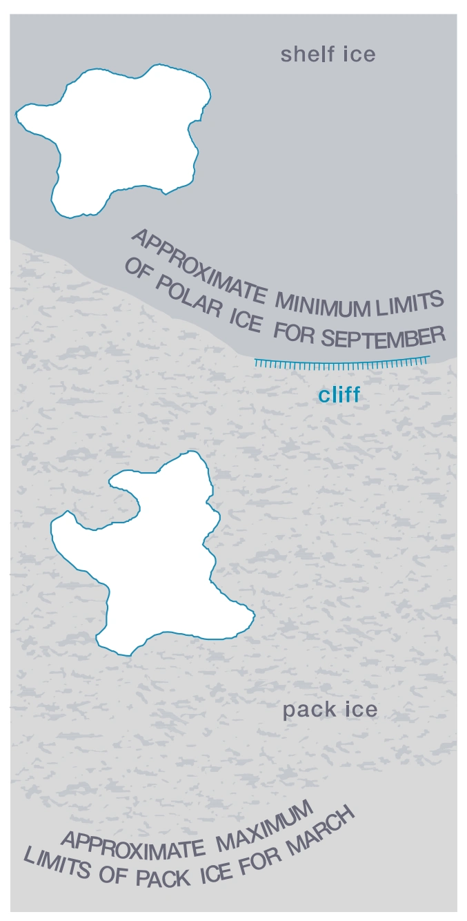
Ice

FAA aeronautical chart visual associated with “Permanent” (source page 40).
Permanent — source page 40.
Permanent
Polar Ice
Pack Ice

Ice Peaks

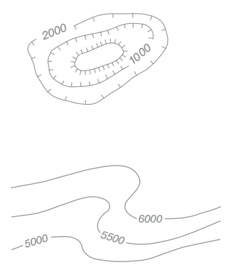
FAA aeronautical chart visual associated with “Depression (Illustration includes mound within depression)” (source page 40).
Depression (Illustration includes mound within depression) — source page 40.
Depression (Illustration includes mound within depression)
FAA aeronautical chart visual associated with “Values” (source page 40).
Values — source page 40.
Values
HYDROGRAPHY (Continued) Permanent Snow and Ice Areas Glaciers Glacial Moraines Ice Cliffs Snowfields, Ice Fields And Ice Caps Foreshore Flats Tidal flats exposed at low tide. RELIEF Contours Basic Approximate Intermediate Auxiliary Ice Permanent Polar Ice Pack Ice Ice Peaks Depression (Illustration includes mound within depression) Values
Source page 41

RELIEF (Continued)

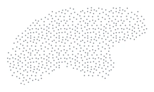
Sand or Gravel Areas
FAA aeronautical chart visual associated with “Sand or gravel areas” (source page 41).
Sand or gravel areas — source page 41.

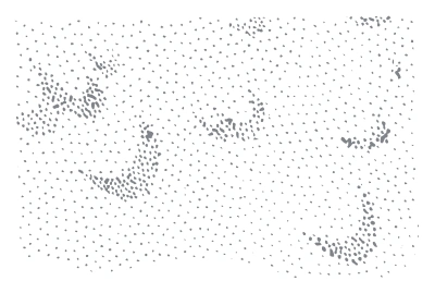
Sand Dunes

FAA aeronautical chart visual associated with “Sand dunes — to scale” (source page 41).
Sand dunes — to scale — source page 41.
To Scale
Hachuring