Searchable explanations of IFR enroute airports, radio aids, airspace, airways, foreign areas, and terrain contours.
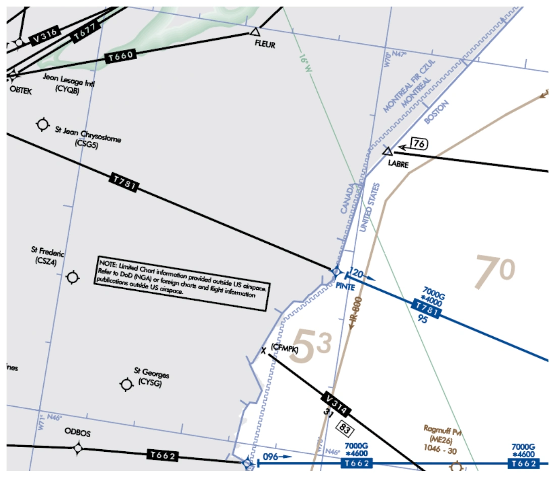
Limited data is depicted in areas outside the U.S. on all appropriate Enroute U.S., Alaska and Pacific High/Low IFR aeronautical charts. The data provided outside the U.S. is for situational awareness and transition planning. Areas outside of the U.S. have been skeletonized and sybmolized in black and/or a black screen applied. This highlights the intent that U.S. charts should only be used for navigation within domestic airspace and charts of other countries should be used within their respective airspace.
TERRAIN CONTOURS ON AREA CHARTS — source page 73.
TERRAIN CONTOURS ON AREA CHARTS
Based on a recommendation of the National Transportation Safety Board, terrain contours have been added to the Enroute Area Charts and are intended to increase pilots' situational awareness for safe flight over changes in terrain. The following Area Charts portray terrain: Anchorage, Denver, Fairbanks, Juneau, Los Angeles, Nome, Phoenix, San Francisco, Vancouver and Washington.
When terrain rises at least a 1,000 feet above the primary airports' elevation, terrain is charted using shades of brown with brown contour lines and values. The initial contour will be 1,000 or 2,000 feet above the airports' elevation. Subsequent intervals will be 2,000 or 3,000 foot increments.
Contours are supplemented with a representative number of spots elevations and are shown in solid black. The highest elevation on an Area Chart is shown with a larger spot and text.
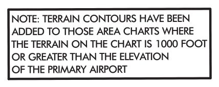
The following boxed note is added to the affected Area Charts.
The following boxed note is added to the affected Area Charts. — source page 73.
FOREIGN AREAS Limited data is depicted in areas outside the U.S. on all appropriate Enroute U.S., Alaska and Pacific High/Low IFR aeronautical charts. The data provided outside the U.S. is for situational awareness and transition planning. Areas outside of the U.S. have been skeletonized and sybmolized in black and/or a black screen applied. This highlights the intent that U.S. charts should only be used for navigation within domestic airspace and charts of other countries should be used within their respective airspace. TERRAIN CONTOURS ON AREA CHARTS Based on a recommendation of the National Transportation Safety Board, terrain contours have been added to the Enroute Area Charts and are intended to increase pilots' situational awareness for safe flight over changes in terrain. The following Area Charts portray terrain: Anchorage, Denver, Fairbanks, Juneau, Los Angeles, Nome, Phoenix, San Francisco, Vancouver and Washington. When terrain rises at least a 1,000 feet above the primary airports' elevation, terrain is charted using shades of brown with brown contour lines and values. The initial contour will be 1,000 or 2,000 feet above the airports' elevation. Subsequent intervals will be 2,000 or 3,000 foot increments. Contours are supplemented with a representative number of spots elevations and are shown in solid black. The highest elevation on an Area Chart is shown with a larger spot and text. The following boxed note is added to the affected Area Charts.
Cookie Preferences
We use cookies to operate this website, improve performance, understand site traffic, and personalize your experience. Essential cookies are always active because they are required for the website to function.
Required for basic site functionality and security.
Help us understand how visitors use the website so we can improve it.
May be used for advertising, remarketing, or social media features.
You can update your choices anytime using Cookie Settings. View Privacy Policy