Aviation Training Experts™

other

Aeronautical Chart Users’ Guide

FAA Chart Users’ Guide Version 9 July 2026

VFR Flyway Planning Charts

Searchable VFR Flyway Planning Chart symbols and explanations for pilots.

airspace use.

RADIO AIDS TO NAVIGATION

VHF Omni-Directional Radio

Range (VOR)
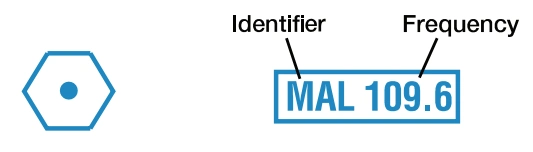
FAA aeronautical chart visual associated with “VHF omnidirectional radio range (VOR) — MAL 109.6” (source page 43).
VHF omnidirectional radio range (VOR) — MAL 109.6 — source page 43.

VORTAC

FAA aeronautical chart visual associated with “VORTAC — GCY 113.4 with shutdown crosshatch” (source page 43).
VORTAC — GCY 113.4 with shutdown crosshatch — source page 43.

VOR-DME

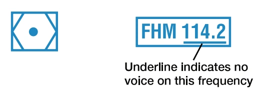
FAA aeronautical chart visual associated with “VOR-DME — FHM 114.2 with no-voice underline” (source page 43).
VOR-DME — FHM 114.2 with no-voice underline — source page 43.

DME

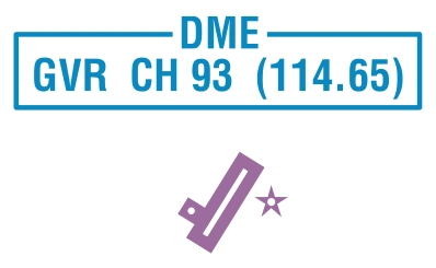
FAA aeronautical chart visual associated with “DME symbol and PVU Channel 21 (108.4) identifier” (source page 43).
DME symbol and PVU Channel 21 (108.4) identifier — source page 43.
FAA aeronautical chart visual associated with “Example: DME co-located at an airport.” (source page 43).
Example: DME co-located at an airport. — source page 43.
Example: DME co-located at an airport.

Landplane (continued)

ABANDONED - Depicted for
FAA aeronautical chart visual associated with “landmark value or to prevent” (source page 43).
landmark value or to prevent — source page 43.
landmark value or to prevent
confusion with an adjacent
usable landing area. Only
portrayed beneath or close to