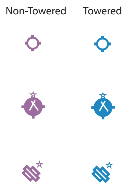
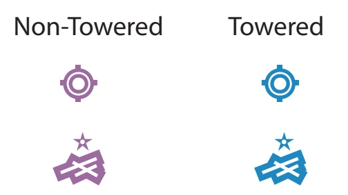
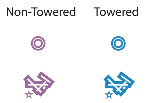
Responsive VFR Sectional and Terminal Area Chart legends for airports, radio aids, airspace, procedures, culture, hydrography, and relief.
Source page 23
VFR Sectional and Terminal Area Charts
GENERAL INFORMATION
The symbols shown in this section illustrate those that appear in the Sectional Aeronautical Charts (Sectionals) and Terminal Area Charts (TACs). The same symbology is utilized in VFR Flyway Planning Charts, Helicopter Route Charts and Caribbean Aeronautical Charts (CACs), however the scale of the symbols may be different due to the particular chart scales. Where symbology is distinctive to a given chart, examples and explanations are given in the additional examples. These charts are updated every 56 days.
Ultralight Flight Park
Ultralight Flight Park symbol — source page 23.
(Selected)
AIRPORTS
Landplane: Civil
Civil landplane symbols — non-towered/towered, visual runway patterns, hard-surface runways — source page 23.
Airports having control towers (CT) are shown in blue, all others are shown in magenta.
All recognizable runways, including some that may be closed, are shown for visual identification purposes. Fuel available.
Runway patterns will be depicted at airports with at least one hard surfaced runway 1500´ or greater in length.
Civil-military landplane symbols — non-towered and towered — source page 23.
Landplane: Military
Military landplane symbols — non-towered and towered — source page 23.
Refueling and repair facilities not indicated.
We use cookies to operate this website, improve performance, understand site traffic, and personalize your experience. Essential cookies are always active because they are required for the website to function.
Required for basic site functionality and security.
Help us understand how visitors use the website so we can improve it.
May be used for advertising, remarketing, or social media features.
You can update your choices anytime using Cookie Settings. View Privacy Policy