Aviation Training Experts™

other

Aeronautical Chart Users’ Guide

FAA Chart Users’ Guide Version 9 July 2026

VFR Sectional and Terminal Area Charts

Responsive VFR Sectional and Terminal Area Chart legends for airports, radio aids, airspace, procedures, culture, hydrography, and relief.
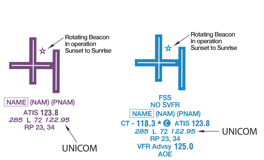
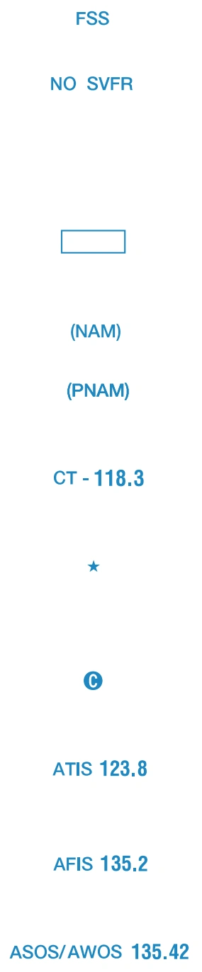
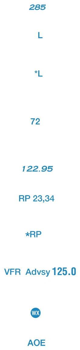
Boxed airport name indicates airport for which a Special Traffic
Rule has been established.
(Pvt): Non-public use having landmark value.
“OBJECTIONABLE”: This airport may adversely affect airspace use.
FAA aeronautical chart visual associated with “Flight Service Station on field” (source page 24).
Flight Service Station on field — source page 24.
Flight Service Station on field
FAA aeronautical chart visual associated with “Airports where fixed wing special VFR operations are prohibited (shown above airport name) FAR 91” (source page 24).
Airports where fixed wing special VFR operations are prohibited (shown above airport name) FAR 91 — source page 24.
Airports where fixed wing special VFR operations are prohibited (shown above airport name) FAR 91
Indicates FAR 93 Special Air Traffic Rules and Airport Traffic Pattern
Location Identifier
ICAO Location Identifier
Control Tower (CT) - primary frequency
Star indicates operation part-time. See tower frequencies tabulation for hours of operation
Follows the Common Traffic Advisory Frequency (CTAF)
Automatic Terminal Information Services
Automatic Flight Information Service
Automated Surface Weather Observing Systems; shown when full-time ATIS is not available.
Elevation in feet
FAA aeronautical chart visual associated with “Lighting in operation Sunset to Sunrise” (source page 24).
Lighting in operation Sunset to Sunrise — source page 24.
Lighting in operation Sunset to Sunrise