Aviation Training Experts™

other

Aeronautical Chart Users’ Guide

FAA Chart Users’ Guide Version 9 July 2026

VFR Sectional and Terminal Area Charts

Responsive VFR Sectional and Terminal Area Chart legends for airports, radio aids, airspace, procedures, culture, hydrography, and relief.

Shaft Mines or Quarries

Wells

FAA aeronautical chart visual associated with “Other than water” (source page 36).
Other than water — source page 36.
Other than water

Lookout Towers

FAA aeronautical chart visual associated with “(Elevation Base of Tower)” (source page 36).
(Elevation Base of Tower) — source page 36.
(Elevation Base of Tower)

Aerial Cableways,Conveyors, Etc.

FAA aeronautical chart visual associated with “Aerial Cableways,Conveyors, Etc.” (source page 36).
Aerial Cableways,Conveyors, Etc. — source page 36.
Boundaries International State or Province Convention or Mandate Line Miscellaneous Cultural Features Dams Passable Locks Weirs and Jetties Breakwaters Pipelines Underground Landmark Features Mines or Quarries Shaft Mines or Quarries Wells Other than water Lookout Towers (Elevation Base of Tower) Aerial Cableways,Conveyors, Etc. 618 Dam Carrying Road Small Locks Seawalls Piers, Wharfs, Quays, etc. Power Transmission and Telecommunication Lines Tanks Outdoor Theater Race Tracks Coast Guard Station Landmark Areas Time Zones Date Line CULTURE (Continued)
Source page 37

HYDROGRAPHY

Open Water

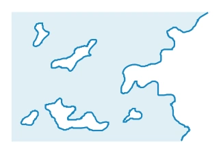
FAA aeronautical chart visual associated with “Open/Inland Water” (source page 37).
Open/Inland Water — source page 37.

Open/Inland Water

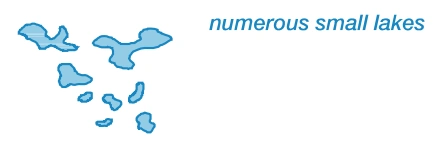
FAA aeronautical chart visual associated with “Lakes” (source page 37).
Lakes — source page 37.

Lakes

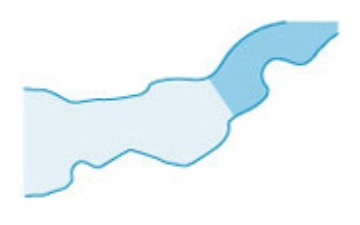
FAA aeronautical chart visual associated with “Label as required.” (source page 37).
Label as required. — source page 37.
Label as required.

Perennial