Aviation Training Experts™

other

Aeronautical Chart Users’ Guide

FAA Chart Users’ Guide Version 9 July 2026

VFR Sectional and Terminal Area Charts

Responsive VFR Sectional and Terminal Area Chart legends for airports, radio aids, airspace, procedures, culture, hydrography, and relief.
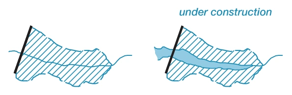
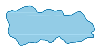
FAA aeronautical chart visual associated with “Reservoir under construction” (source page 37).
Reservoir under construction — source page 37.

Inland Water

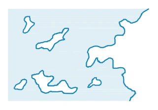
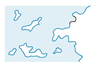
FAA aeronautical chart visual associated with “Shorelines” (source page 37).
Shorelines — source page 37.

Shorelines

FAA aeronautical chart visual associated with “Definite” (source page 37).
Definite — source page 37.
Definite
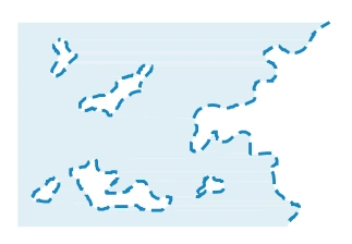
FAA aeronautical chart visual associated with “Fluctuating” (source page 37).
Fluctuating — source page 37.
Fluctuating
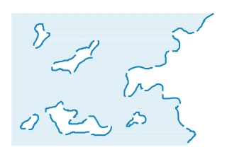
FAA aeronautical chart visual associated with “Unsurveyed” (source page 37).
Unsurveyed — source page 37.
Unsurveyed
Indefinite
FAA aeronautical chart visual associated with “Man-made” (source page 37).
Man-made — source page 37.
Man-made
HYDROGRAPHY Open Water Open/Inland Water Lakes Label as required. Perennial When too numerous to show individual lakes, show representative pattern and descriptive note. Number indicates elevation. Non-Perennial (dry, intermittent, etc.) Illustration includes small perennial lake. Reservoirs Natural Shorelines Man-made Shorelines Label when necessary for clarity Too small to show to scale Under Construction Inland Water Shorelines Definite Fluctuating Unsurveyed Indefinite Man-made
Source page 38

HYDROGRAPHY (Continued)

Streams

Perennial
FAA aeronautical chart visual associated with “Streams — perennial and non-perennial” (source page 38).
Streams — perennial and non-perennial — source page 38.
Non-Perennial