Chapter 25
Analysis
25.7 Real-Time Mesoscale Analysis (RTMA)
RTMA is an hourly analysis system by the NWS’ Environmental Modeling Center that produces analyses of surface weather elements. The FAA has determined that RTMA temperature and altimeter setting information is a suitable replacement for missing temperature and altimeter setting observations for a subset of airports. RTMA temperature and altimeter setting information is intended for use by operators, pilots, and aircraft dispatchers when an airport lacks a surface temperature and/or altimeter setting report from an automated weather system (e.g., ASOS or AWOS sensor) or human observer. Airports with RTMA data available are located in Alaska, Guam, Hawaii, Puerto Rico, and the CONUS.
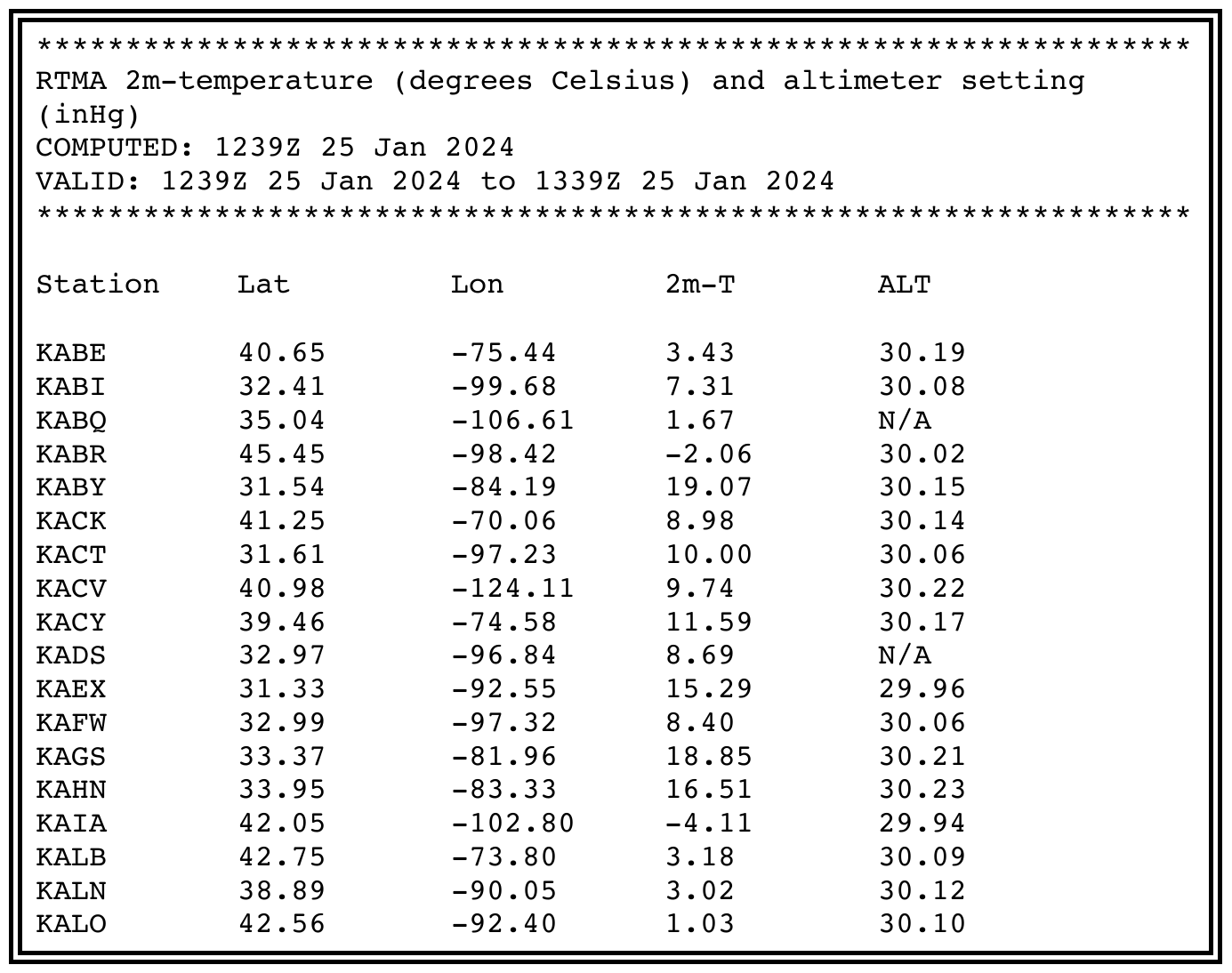
RTMA is issued by the NWS every hour, 24 hours a day. Temperatures and altimeter settings are reported for an airport station including the latitude and the longitude. Temperatures are reported in degrees Celsius. Altimeter setting is reported in inches of mercury. See Figure 25-25 for an example RTMA temperature and altimeter setting report.
25.7.1 Adjustments
The values found at the RTMA site are 95 percent accurate throughout the United States for both temperature and altimeter setting when using the following mitigations:
- Temperature requires adding 4°C to the RTMA-derived temperature.
- Altimeter setting requires increasing the minimum descent altitude (MDA) or decision height (DH) value on the approach chart by 100 ft and increasing the required flight visibility minimums by ½ SM.