
Appendix A: Cloud Types
Thick altostratus is darker or bluish gray and denser than thin altostratus, and the greater part is sufficiently dense to completely mask the Sun or Moon. With further thickening of the altostratus and a lowering of its base, the cloud may begin to produce precipitation, at which point it is called nimbostratus. Some cloud charts will depict nimbostratus as a low-level cloud. This is because oftentimes, during continuously falling precipitation, the base of nimbostratus clouds decreases into the low level. But officially and historically, nimbostratus is classified as a mid-level cloud.
A.3 Low Clouds
Cumulus (Cu), towering cumulus (TCu), stratocumulus (Sc), stratus (St), and cumulonimbus (Cb) are low clouds composed of water droplets. However, they can also be composed of supercooled liquid water droplets and/or ice crystals when temperatures are below freezing. Cumulus and cumulonimbus usually have bases in the low level, but their vertical extent is often so great that their tops may reach into the middle and high levels.
A.3.1 Cumulus (Cu) and Towering Cumulus (TCu)
Cumulus is a cloud type in the form of individual, detached elements that are generally dense and possess sharp, nonfibrous outlines. These elements develop vertically, appearing as rising mounds, domes, or towers, the upper parts of which often resemble a cauliflower. The sunlit parts of these clouds are mostly brilliant white; their bases are relatively dark and nearly horizontal. Near the horizon, the vertical development of cumulus often causes the individual clouds to appear merged. If precipitation occurs, it is usually of a showery nature. Various effects of wind, illumination, etc., may modify many of the aforementioned characteristics.
Cumulus is composed of a great density of small water droplets, frequently supercooled. Within the cloud, larger water drops are formed that may, as the cloud develops, fall from the base as rain or virga.13 Ice crystal formation will occur within the cloud at sufficiently low temperatures, particularly in upper portions as the cloud grows vertically.
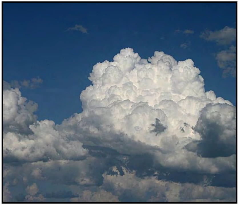
For cumulus with little vertical development (see Figure A-8), pilots can expect some turbulence and no significant icing. However, for towering cumulus (i.e., cumulus of moderate/strong development), pilots can expect very strong turbulence and some clear icing above the freezing level (where temperatures are negative). Towering cumulus (see Figure A-9) is also referred to as the first stage of a thunderstorm.
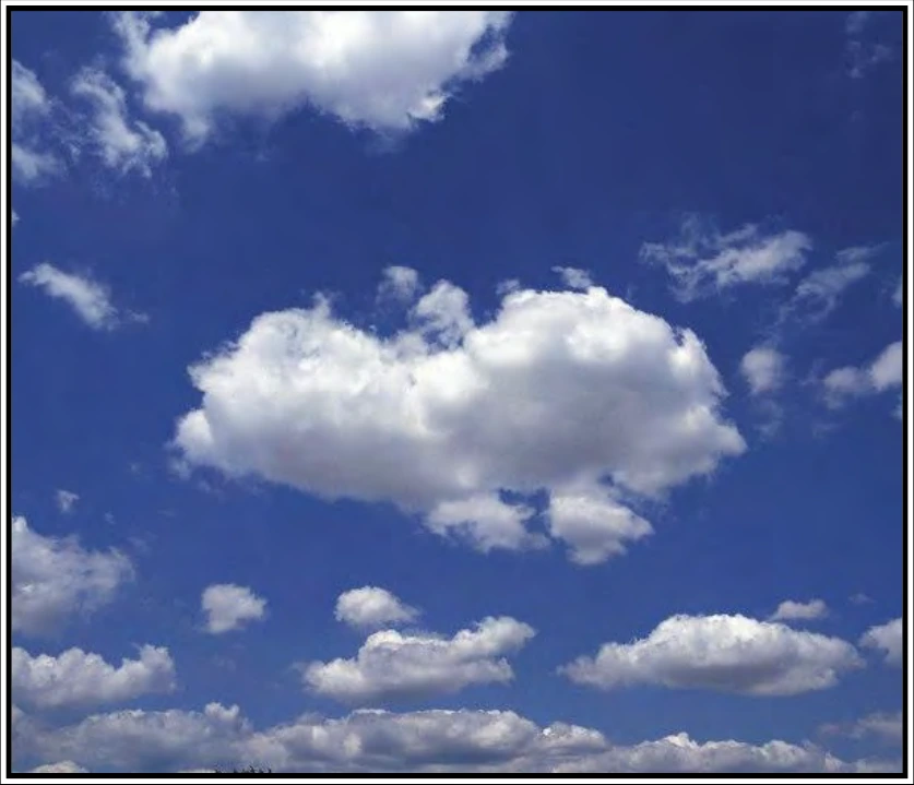
Cumulus formation is often preceded by hazy spots out of which the clouds evolve. When completely formed, the clouds have clear-cut horizontal bases and flattened or slightly rounded tops. At this stage of development, they are known as fair weather cumulus. Over land, on clear mornings, cumulus may form as the Sun rapidly heats the ground. Near coasts, cumulus may form over the land by day in a sea breeze and over the sea during the night in a land breeze.
A.3.2 Stratocumulus (Sc)
Stratocumulus (Sc) (see Figure A-10) is a cloud type, predominantly stratiform, in the form of a gray and/or whitish layer or patch, that nearly always has dark parts and is nonfibrous (except for virga). Its elements are tessellated, rounded, roll-shaped, etc., may or may not be merged, and are usually arranged in orderly groups, lines, or undulations, giving the appearance of a simple (or occasionally a cross-pattern) wave system. These elements are generally flat-topped, smooth, and large; observed at an angle of more than 30 degrees above the horizon, the individual stratocumulus element subtends an angle of greater than five degrees. When a layer is continuous, the elemental structure is revealed in true relief on its undersurface.
Stratocumulus is composed of small water droplets, sometimes accompanied by larger droplets, soft hail, and (rarely) snowflakes. Under ordinary conditions, ice crystals are too sparse even to give the cloud a fibrous aspect; however, in extremely cold weather, ice crystals may be numerous enough to produce abundant virga and sometimes even halo phenomena. The highest liquid water contents are in the tops of these clouds where the icing threat is the greatest, if cold enough. Virga may form under the cloud, particularly at very low temperatures. Precipitation rarely occurs with stratocumulus.
Pilots can expect some turbulence and possible icing at subfreezing temperatures. Ceiling and visibility are usually better than with low stratus.
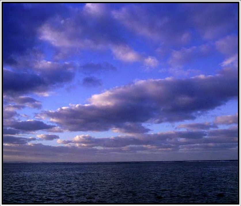
The stratocumulus in Figure A-10 occurs in patches or layers, composed of rounded masses or rolls, at one or more levels. The clouds are gray or whitish and always have dark parts. Sometimes the elements lie in parallel bands. Due to perspective, these may appear to converge towards the horizon. It may also occur in the shape of lenses or almonds, although this is fairly rare.
A.3.3 Stratus (St)
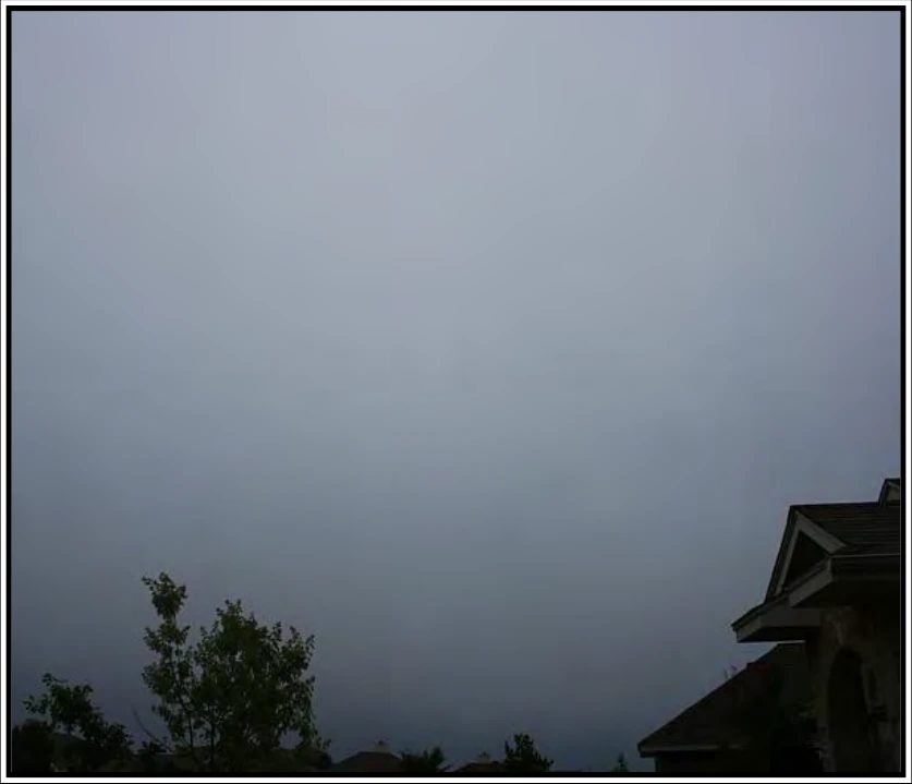
Stratus (St) (see Figure A-11 and Figure A-12) is a cloud type in the form of a gray layer with a fairly uniform base. Stratus does not usually produce precipitation, but when it does occur, it is in the form of minute particles, such as drizzle, ice crystals, or snow grains. Stratus often occurs in the form of ragged patches or cloud fragments, in which case rapid transformation is a common characteristic. When the Sun is seen through the cloud, its outline is clearly discernible. In the immediate area of the solar disk, stratus may appear very white. Away from the Sun, and at times when the cloud is sufficiently thick to obscure it, stratus gives off a weak, uniform luminance.