
Aviation Training Experts™

other

Aeronautical Chart Users’ Guide

FAA Chart Users’ Guide Version 9 July 2026

Helicopter Route Charts

Helicopter Route Chart airports, radio aids, airspace, navigation, procedure, and cultural symbols.
FAA aeronautical chart visual associated with “Appropriate boxed notes as” (source page 53).
Appropriate boxed notes as — source page 53.
FAA aeronautical chart visual associated with “Appropriate boxed notes as” (source page 53).
Appropriate boxed notes as — source page 53.
Appropriate boxed notes as
required shown adjacent to
area. Inside the FAR Part 93
boundary area, the cross
hatching is at a 45 degree
angle.

Sporting Event Temporary Flight Restriction (TFR) Sites

FAA aeronautical chart visual associated with “Stadium / sporting-event landmark pictorial” (source page 53).
Stadium / sporting-event landmark pictorial — source page 53.

National Defense Airspace Temporary Flight Restriction (TFR) Areas

FAA aeronautical chart visual associated with “National Defense Airspace temporary-TFR area — brown hatched boundary” (source page 53).
National Defense Airspace temporary-TFR area — brown hatched boundary — source page 53.

AIRSPACE INFORMATION (Continued)

Special Airspace Areas (Continued)

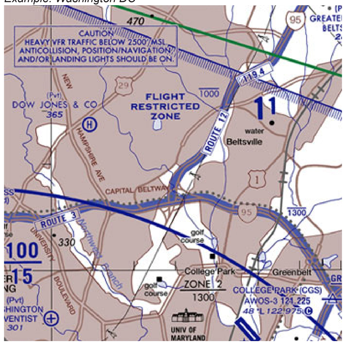
Flight Restricted Zone (FRZ) Relating to National Security

FAA aeronautical chart visual associated with “Flight Restricted Zone relating to national security — blue comb boundary” (source page 53).
Flight Restricted Zone relating to national security — blue comb boundary — source page 53.

Air Defense Identification Zone (ADIZ)

FAA aeronautical chart visual associated with “Contiguous U.S. ADIZ boundary” (source page 53).
Contiguous U.S. ADIZ boundary — source page 53.
Note: Delimiting line not shown when it coincides with International Boundary, projection lines or other linear features.

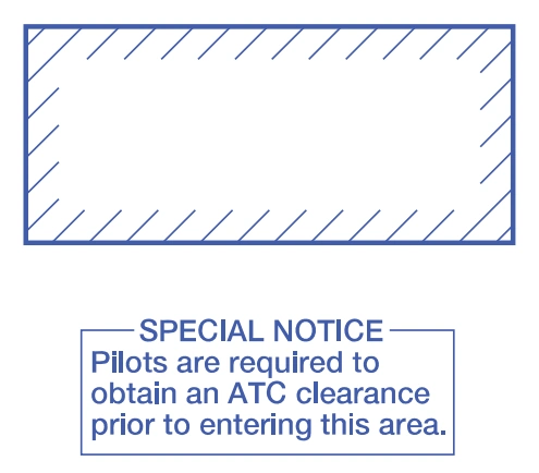
Special Security Notice Permanent Continuous