Aviation Training Experts™

other

Aeronautical Chart Users’ Guide

FAA Chart Users’ Guide Version 9 July 2026

Helicopter Route Charts

Helicopter Route Chart airports, radio aids, airspace, navigation, procedure, and cultural symbols.

Parachute Jumping Area with Frequency
Space Launch Activity Area
FAA aeronautical chart visual associated with “Military Training Route VR269” (source page 54).
Military Training Route VR269 — source page 54.

Helicopter Routes

FAA aeronautical chart visual associated with “Helicopter-route symbols — primary route with name/frequency, secondary route, transition symbol” (source page 54).
Helicopter-route symbols — primary route with name/frequency, secondary route, transition symbol — source page 54.
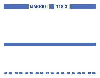
Primary Route with Route
Name and Tower Frequency
Secondary Route
Transition Symbol
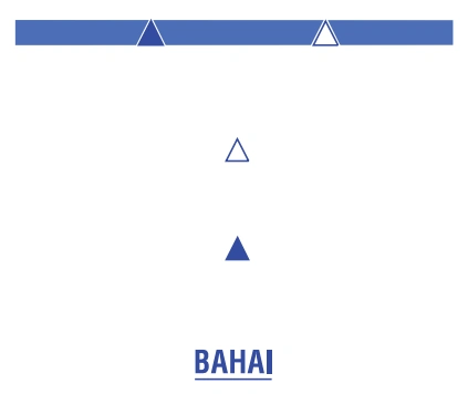
FAA aeronautical chart visual associated with “Reporting-point symbols — non-compulsory, compulsory, and BAHAI named reporting point” (source page 54).
Reporting-point symbols — non-compulsory, compulsory, and BAHAI named reporting point — source page 54.
Non-compulsory
Compulsory
Reporting Point Name
FAA aeronautical chart visual associated with “Foreign Airspace Note — limited chart information outside U.S. airspace” (source page 54).
Foreign Airspace Note — limited chart information outside U.S. airspace — source page 54.
FAA aeronautical chart visual associated with “Police-zone boundary and Zone 8 / 1000 label” (source page 54).
Police-zone boundary and Zone 8 / 1000 label — source page 54.

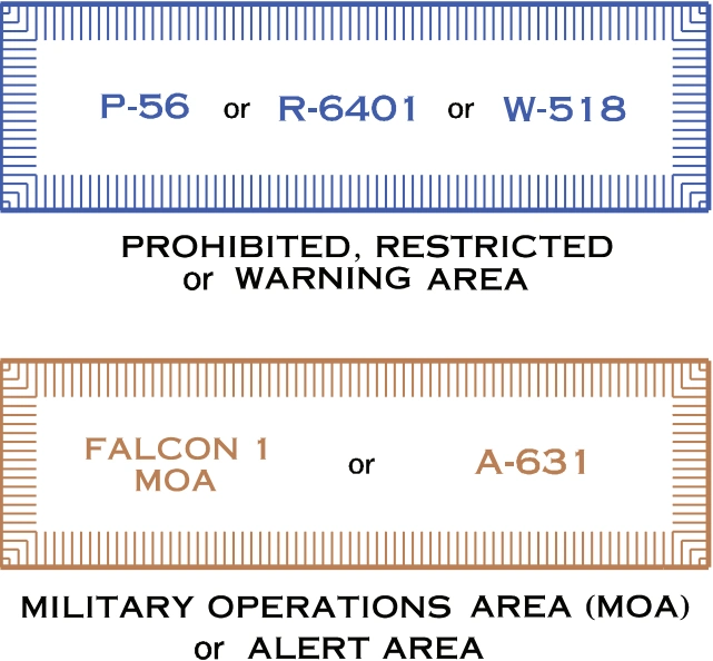
Special Use Airspace

FAA aeronautical chart visual associated with “Special-use-airspace boxes — prohibited/restricted/warning and MOA/alert” (source page 54).
Special-use-airspace boxes — prohibited/restricted/warning and MOA/alert — source page 54.
Only the airspace effective
below 18,000 feet MSL is
shown.