IFR low- and high-altitude enroute chart legends, symbols, examples, and procedures.
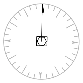
VHF/UHF compass rose — source page 76.
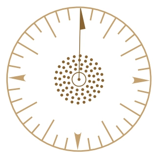
LF/MF compass rose — source page 76.
Compass Roses are oriented to Magnetic North of the NAVAID that cannot be adjusted to the charted isogonic values.
Compass Locator Beacon
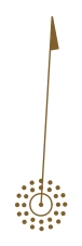
Low-altitude compass-locator-beacon symbol — source page 76.
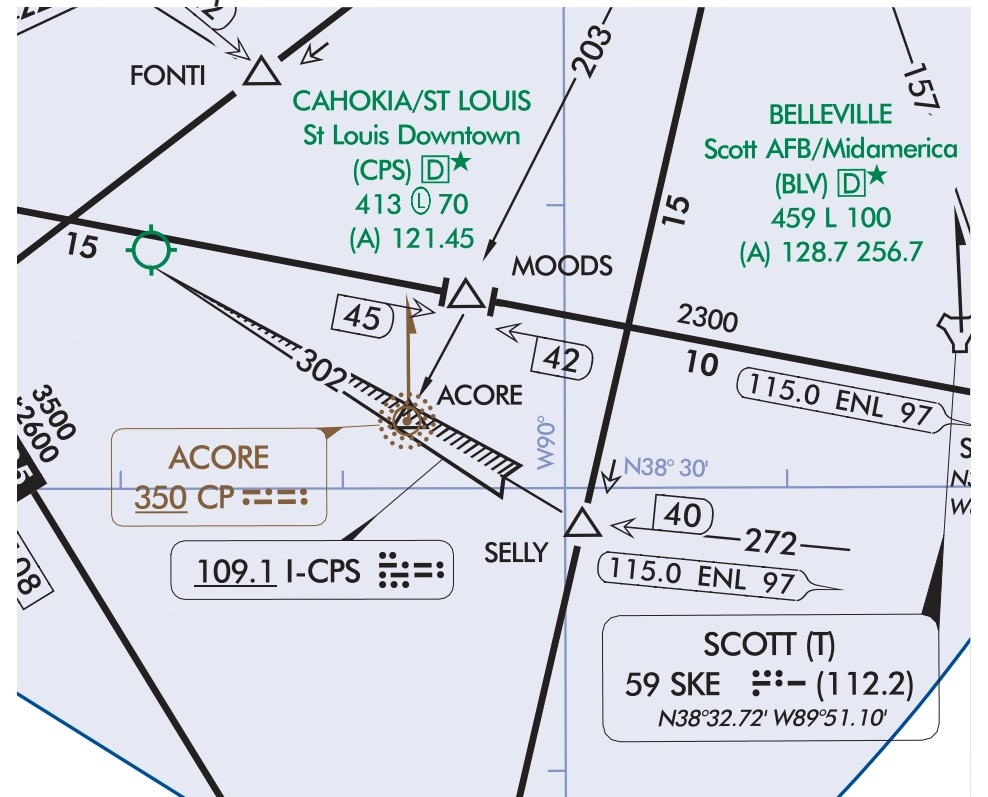
Compass-locator-beacon example — Enroute Low L-27 U.S. — source page 76.
Airports (Continued) LIGHTING CAPABILITY Lighting Available Pilot Controlled Lighting Part-time or on request No lighting available At private facilitiesindicates no lighting information is available RADIO AIDS TO NAVIGATION NAVAIDS VOR VOR/DME TACAN DME NDB NDB/DME Reporting Function Non Compulsory Reporting or Off Airway Compulsory Reporting Note: VHF/UHF is depicted in Black. LF/MF is depicted in Brown. RNAV is depicted in Blue Compass Roses VHF/UHF LF/MF Compass Roses are oriented to Magnetic North of the NAVAID that cannot be adjusted to the charted isogonic values. Compass Locator Beacon LOW ALTITUDE Chart Example: Enroute Low L-27 US
Source page 77
RADIO AIDS TO NAVIGATION (Continued)
ILS LOCALIZER
ILS Localizer Course with
ILS localizer course with additional-navigation function — source page 77.
additional navigation function
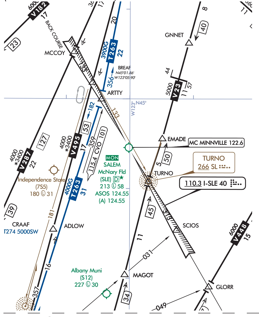
ILS Localizer Back Course with
ILS localizer back course with additional-navigation function — source page 77.
additional navigation function
VOR/DME RNAV
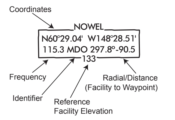
WAYPOINT DATA
High-altitude Alaska VOR/DME RNAV waypoint-data callouts — source page 77.
ILS localizer back-course example — Enroute Low L-1 U.S. — source page 77.
Cookie Preferences
We use cookies to operate this website, improve performance, understand site traffic, and personalize your experience. Essential cookies are always active because they are required for the website to function.
Required for basic site functionality and security.
Help us understand how visitors use the website so we can improve it.
May be used for advertising, remarketing, or social media features.
You can update your choices anytime using Cookie Settings. View Privacy Policy