Searchable VFR Flyway Planning Chart symbols and explanations for pilots.
FAR 91.215/AIM)
Class E Surface
(SFC) Airspace
Class E surface-area boundary — source page 44.
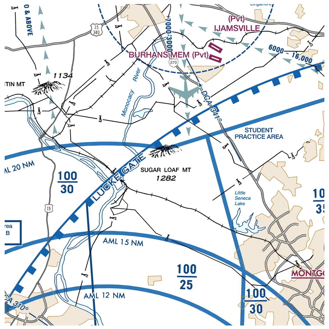
VFR Flyway controlled-airspace chart excerpt — source page 44.
AIRSPACE INFORMATION Class B Airspace Appropriate notes as required may be shown. (Mode C see FAR 91.215/AIM) All mileages are nautical (NM). All radials are magnetic. Floors extending “upward and above” a certain altitude are preceded by a +. Operations at or below these altitudes are outside of the Class B Airspace.) Class D Airspace (A minus sign in front of the figure used to indicate “from surface to but not including...”) ALTITUDE IN HUNDREDS OF FEET MSL. Special Airspace Areas Special Flight Rules Area (SFRA) Relating to National Security Example: Washington DC Appropriate notes as required may be shown. Note: Delimiting line not shown when it coincides with International Boundary, projection lines or other linear features. Class C Airspace Appropriate notes as required may be shown. (Mode C see FAR 91.215/AIM) Class E Surface (SFC) Airspace
Source page 45
AIRSPACE INFORMATION (Continued)
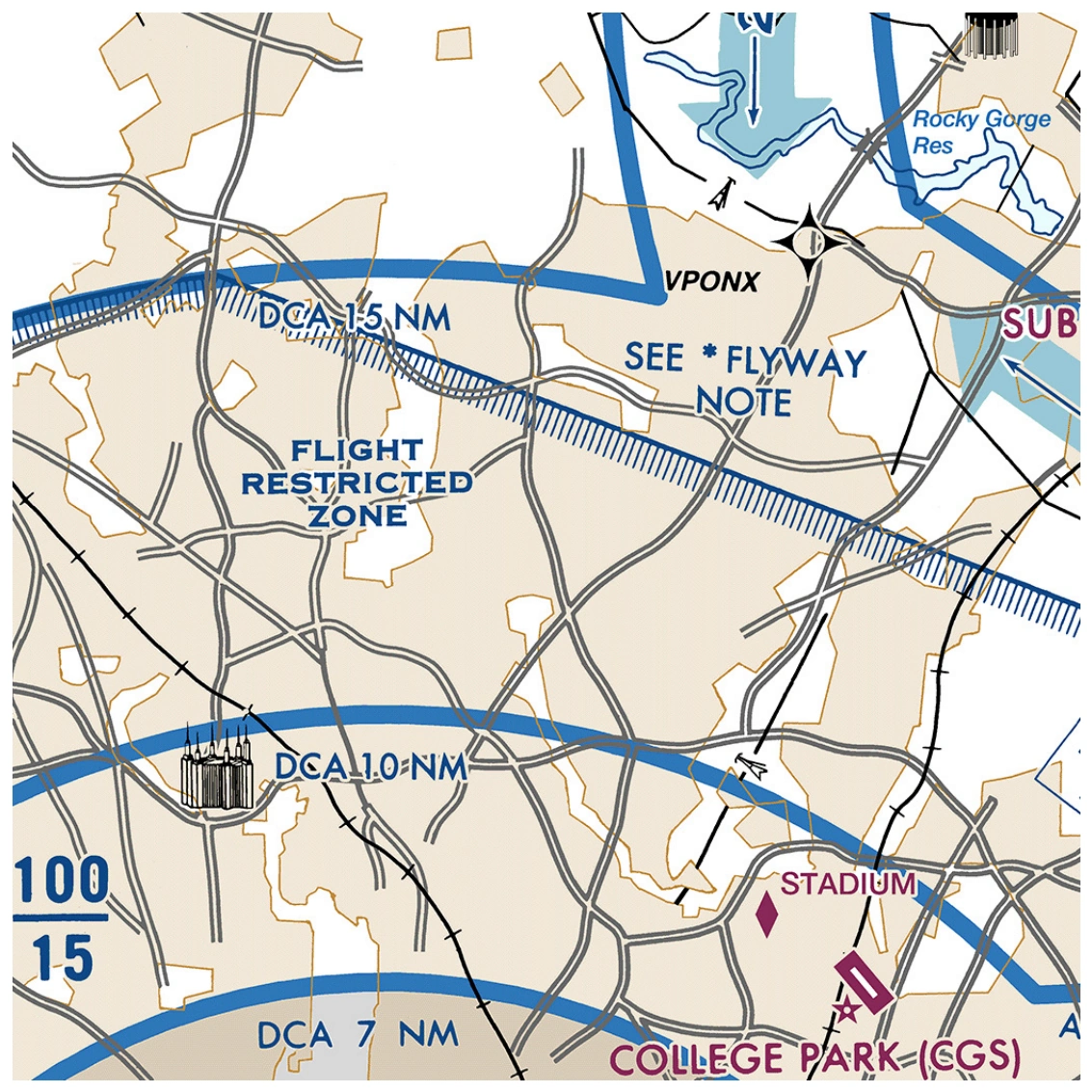
Flight Restricted Zone (FRZ) Relating To National Security
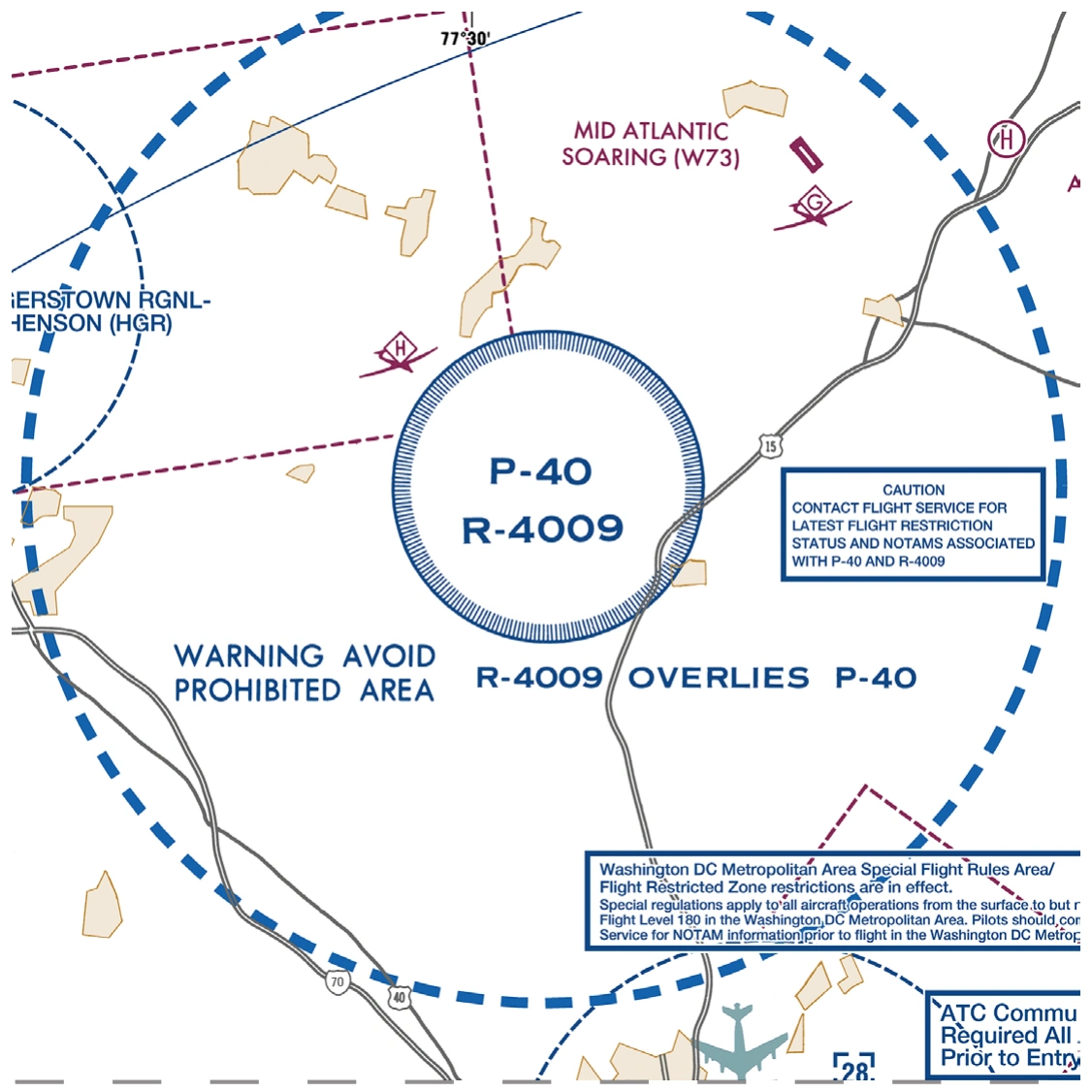
Temporary Flight Restriction (TFR) Relating To National Security
Appropriate notes as required may be shown.
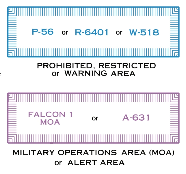
Special Use Airspace
Special-use-airspace boxes — prohibited/restricted/warning, MOA/alert — source page 45.
Only the airspace effective below 18,000 feet MSL is shown.
The type of area shall be spelled out in large areas if space permits.
Washington, DC Flight Restricted Zone chart example — source page 45.
Washington, DC national-security TFR chart example — P-40/R-4009 — source page 45.
Air Defense Identification Zone (ADIZ)
Contiguous U.S. ADIZ boundary — source page 45.
Note: Delimiting line not shown when it coincides with International Boundary, projection lines or other linear features.
Cookie Preferences
We use cookies to operate this website, improve performance, understand site traffic, and personalize your experience. Essential cookies are always active because they are required for the website to function.
Required for basic site functionality and security.
Help us understand how visitors use the website so we can improve it.
May be used for advertising, remarketing, or social media features.
You can update your choices anytime using Cookie Settings. View Privacy Policy