Aviation Training Experts™

other

Aeronautical Chart Users’ Guide

FAA Chart Users’ Guide Version 9 July 2026

VFR Sectional and Terminal Area Charts

Responsive VFR Sectional and Terminal Area Chart legends for airports, radio aids, airspace, procedures, culture, hydrography, and relief.

FAA aeronautical chart visual associated with “(see VFR Terms tab for explanation)” (source page 33).
(see VFR Terms tab for explanation) — source page 33.
(see VFR Terms tab for explanation)

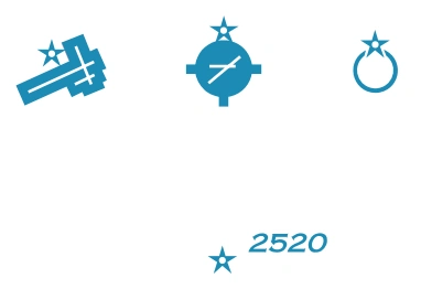
Airport Beacons

FAA aeronautical chart visual associated with “Rotating or Flashing” (source page 33).
Rotating or Flashing — source page 33.
Rotating or Flashing
Isolated Locations

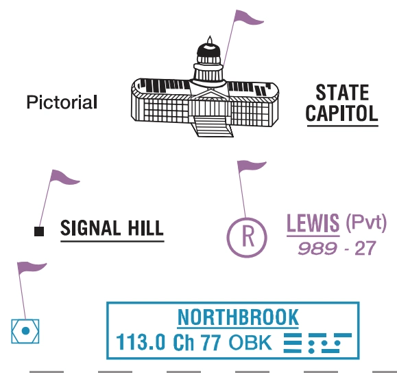
VFR Checkpoints

FAA aeronautical chart visual associated with “Underline indicates proper name of VFR Checkpoint.” (source page 33).
Underline indicates proper name of VFR Checkpoint. — source page 33.
Underline indicates proper name of VFR Checkpoint.

Waypoints

FAA aeronautical chart visual associated with “RNAV” (source page 33).
RNAV — source page 33.
RNAV
VFR Stand-Alone
VFR Collocated with Checkpoint

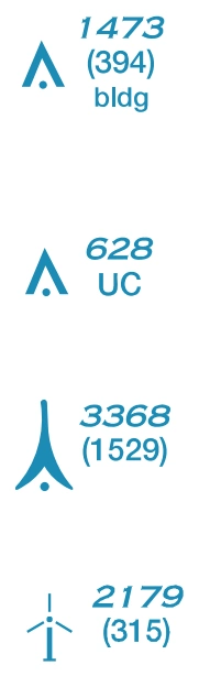
Obstruction

FAA aeronautical chart visual associated with “Above 200’ & below 1000’ AGL” (source page 33).
Above 200’ & below 1000’ AGL — source page 33.
Above 200’ & below 1000’ AGL
(above 299’ AGL in urban area)
Under Construction (UC) or reported and position/elevation unverified
1000’ and higher (AGL)