
Chapter 24
Observations
24.8.1.1 Issuance
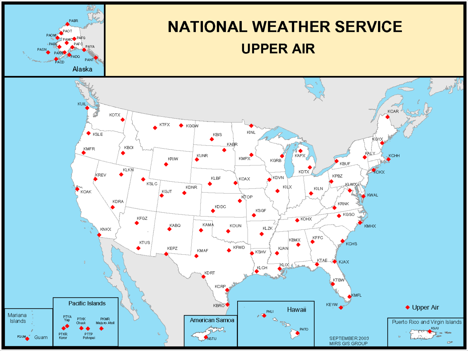
Weather balloons with radiosondes are launched twice a day worldwide from designated locations at around 1100 UTC and 2300 UTC (see Figure 24-27). It takes approximately 90 minutes for the balloon to reach an altitude of 100,000 ft. The weather data collected is assigned the observation times of 1200 UTC and 0000 UTC. Special radiosondes may be launched at select times for various reasons, including when severe weather is expected in a region.
24.9 Aviation Weather Cameras
24.9.1 FAA Aviation Weather Camera Network
In July 2007 the FAA, under the leadership of Walter Combs, began a program to assist Alaska pilots with their significant needs for weather information. Combs’ passion for safe flight in Alaska provided the fuel for much improved situational awareness, seeing the weather picture in mountain passes. His work, along with management support, created the Aviation Weather Camera Network.
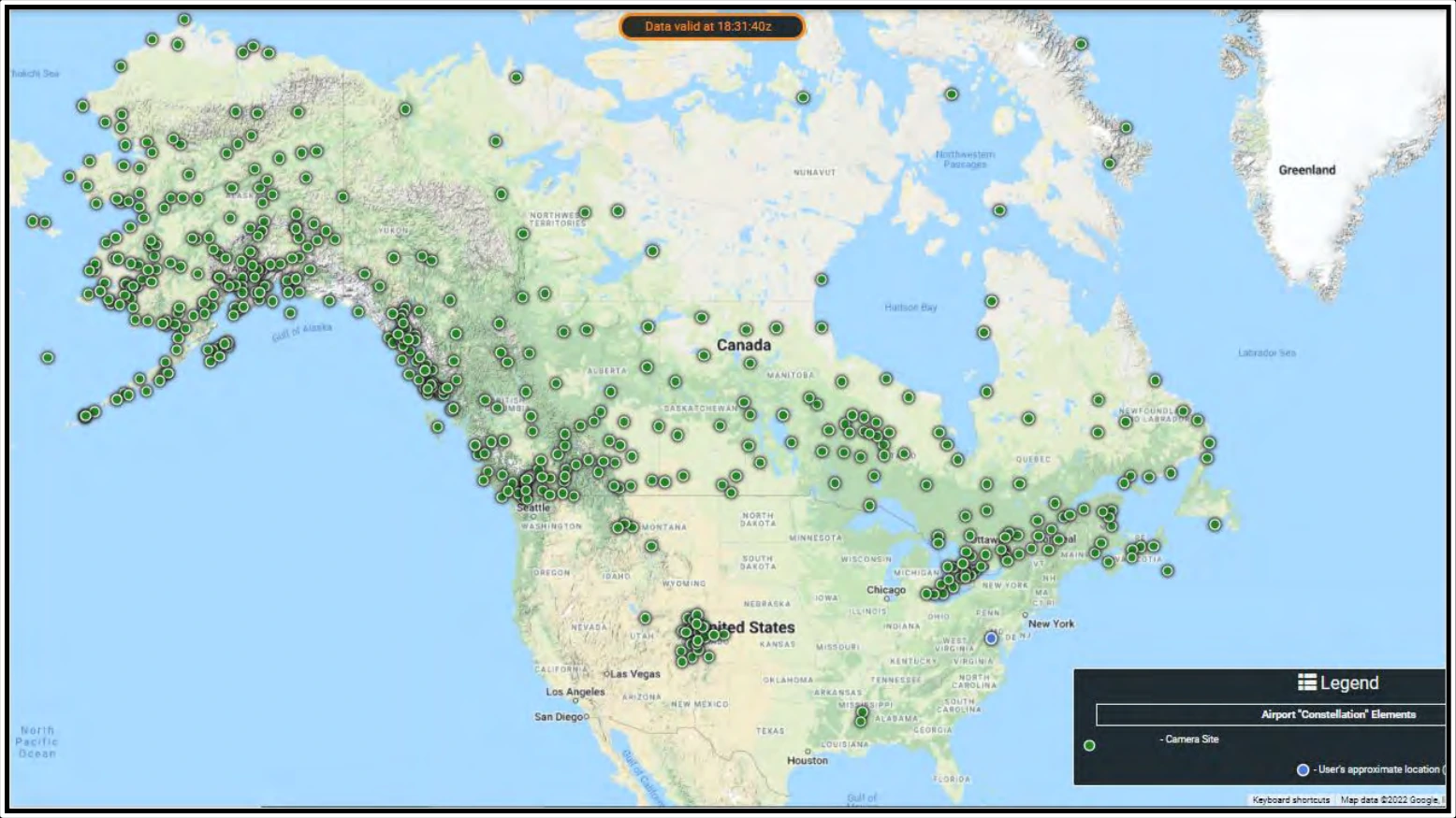
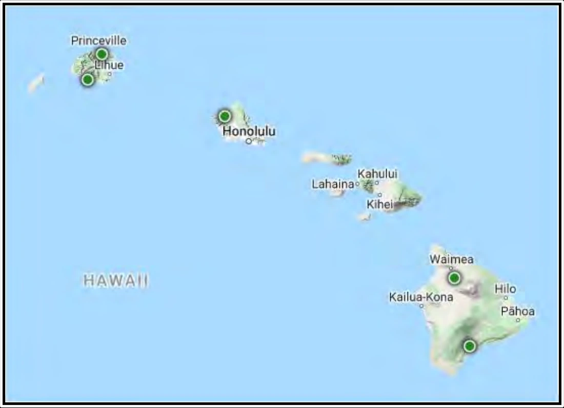
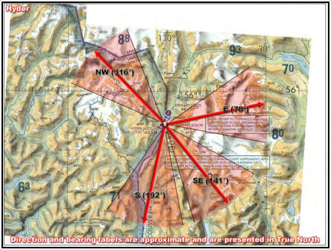
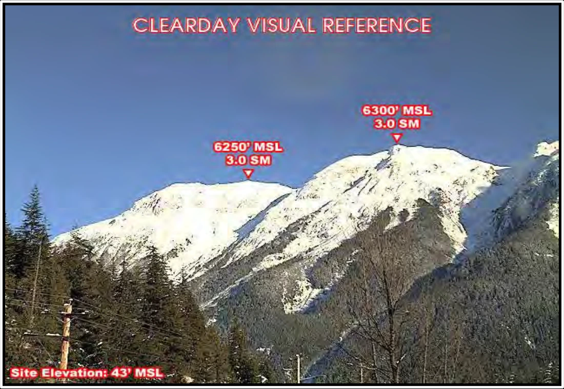
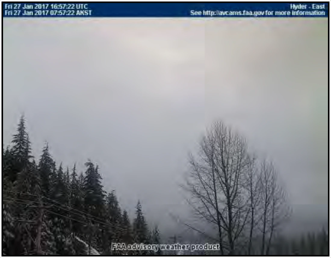
The FAA’s Aviation Weather Camera Network (see Figure 24-28 and Figure 24-29), consists of nearly 500 camera facilities in remote or mountainous locations. Additional sites will be added to the network as they are installed and become operational. Each site has up to four cameras. The direction of each camera (see Figure 24-30) is provided with reference to a Sectional Chart. A “clear day” image (see Figure 24-31) is provided for reference and comparison to the latest image (see Figure 24-32).
In Alaska, locations with cameras are marked on Sectional Charts and listed in Chart Supplement Alaska, Section 2, Airport/Facility Directory, as well as under Section 4, Associated Data, FAA Aviation Camera Locations.
24.9.2 Visibility Estimation through Image Analytics (VEIA)
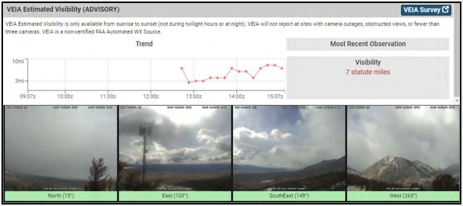
VEIA, which is available on the FAA’s Aviation Weather Camera Network, is an algorithm that uses the FAA’s Aviation Weather Camera Network to produce visibility estimates (in statute miles) by analyzing the views in the camera imagery. VEIA uses all of the cameras at a single site to produce one prevailing visibility estimate for that location by identifying and measuring the strength of the edges of permanent features in the landscape/scene and comparing them to a clear day reference. VEIA visibility estimates allow users to quickly access visibility estimates at the departure location, along the route, and at the destination between sunrise and sunset (not during twilight hours or at night).
VEIA visibility estimates are supplemental information, for use with other meteorological information, displayed in conjunction with the specific site’s camera images. The visibility estimates are accessible on the FAA’s Aviation Weather Camera website. See Figure 24-33 for an example VEIA visibility estimate.
24.9.3 Visual Weather Observation System (VWOS)
VWOS, which is available on the FAA’s Aviation Weather Camera Network, is an advanced camera system that is comprised of a suite of weather sensors and 360-degree camera images that collectively observe and report several critical data fields, including winds, cloud height, visibility, present weather, temperature, dewpoint, and pressure. VWOS uses automated processes to self-check and validate its operations and data outputs. It provides operators with visual and textual weather observations as guidance, for use with other weather information, to make flight decisions into airports that do not possess an AWOS/METAR.