Chapter 5
Improvement Plans
Access to Special Use Airspace
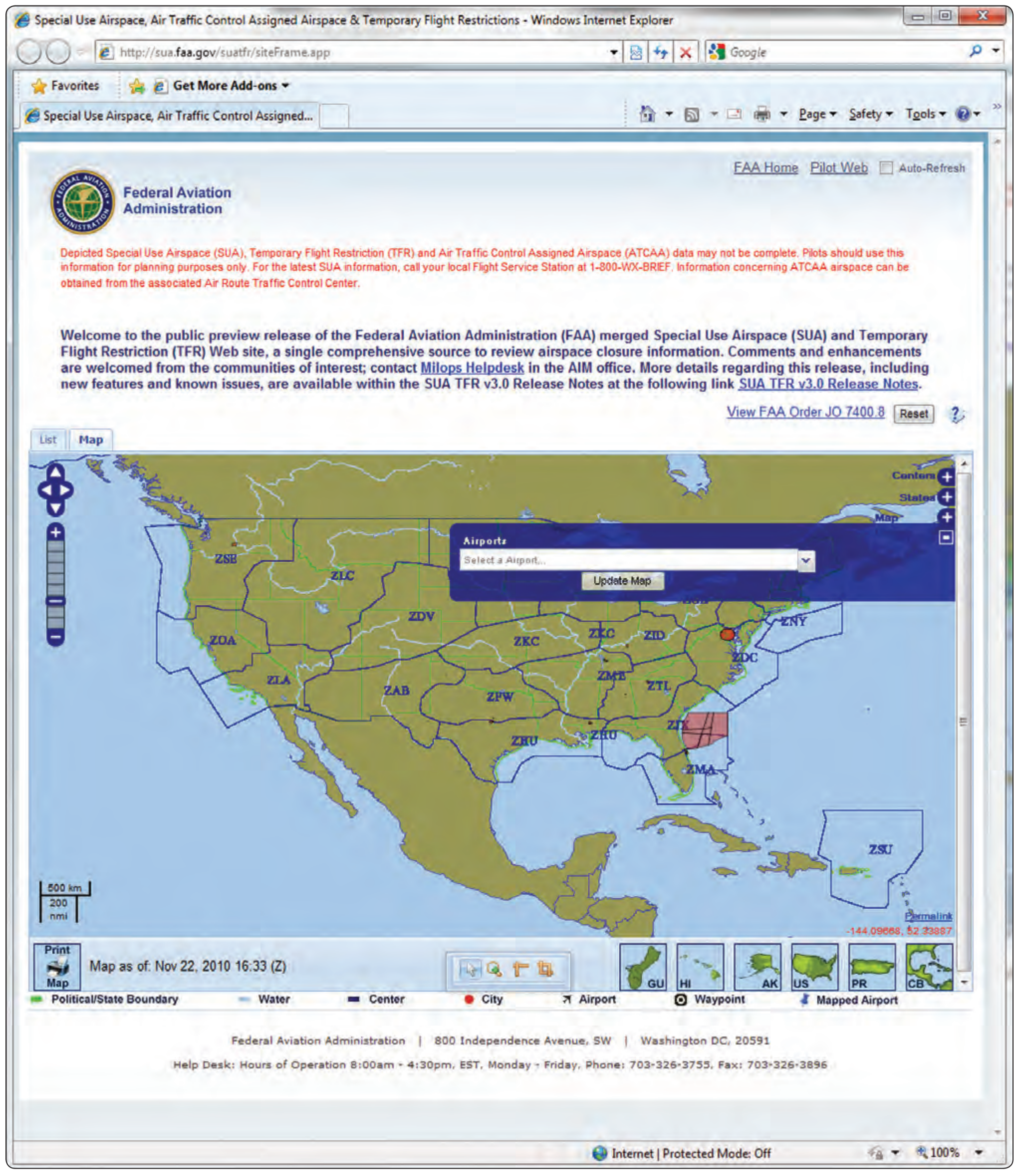
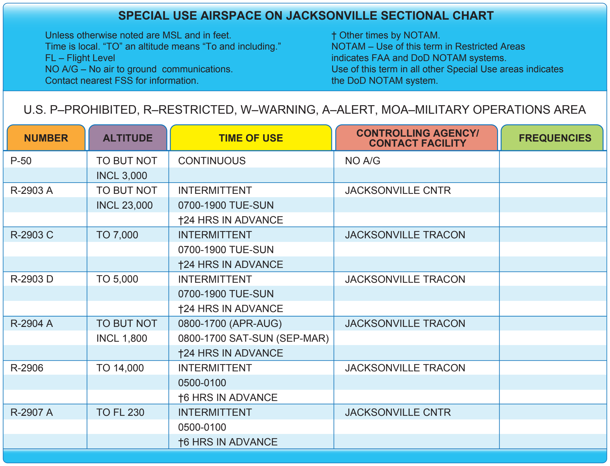
Special use airspace consists of airspace of defined dimensions identified by an area on the surface of the earth wherein activities must be confined because of their nature, or wherein limitations are imposed upon aircraft operations that are not a part of those activities, or both. Special use airspace includes: restricted airspace, prohibited airspace, Military Operations Areas (MOA), warning areas, alert areas, temporary flight restriction (TFR), and controlled firing areas (CFAs). [Figures 5-27 through 5-32] Prohibited and restricted areas are regulatory special use airspace and are established in 14 CFR Part 73 through the rulemaking process. Warning areas, MOAs, alert areas, and CFAs are non-regulatory special use airspace. All special use airspace descriptions (except CFAs) are contained in FAA Order JO 7400.8, Special Use Airspace, and are charted on IFR or visual charts and include the hours of operation, altitudes, and the controlling agency. [Figure 5-33]
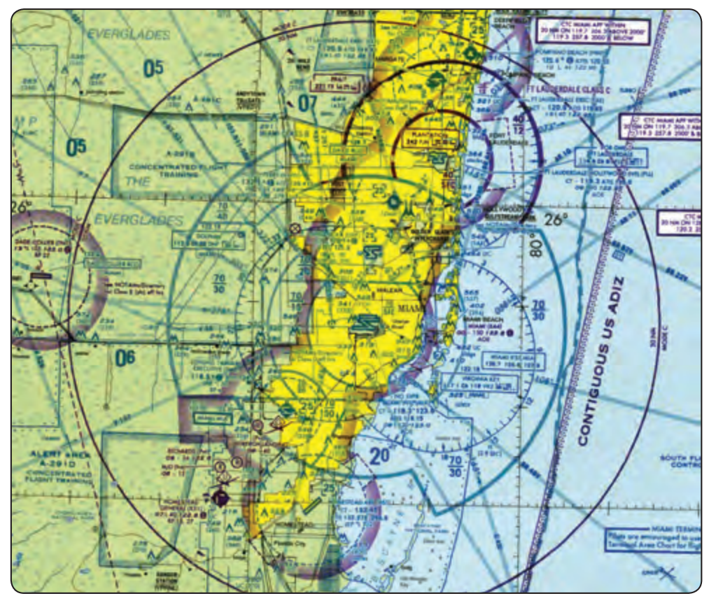
The vertical limits of special use airspace are measured by designated altitude floors and ceilings expressed as flight levels or as feet above mean sea level (MSL). Unless otherwise specified, the word “to” (an altitude or flight level) means “to and including” (that altitude or flight level). The horizontal limits of special use airspace are measured by boundaries described by geographic coordinates or other appropriate references that clearly define their perimeter. The period of time during which a designation of special use airspace is in effect is stated in the designation.
Civilians Using Special Use Airspace
The FAA and the Department of Defense (DOD) work together to maximize the use of special use airspace by opening such areas to civilian traffic when they are not being used by the military. The military airspace management system (MAMS) keeps an extensive database of information on the historical use of special use airspace, as well as schedules describing when each area is expected to be active. MAMS transmits the data to the special use airspace management system (SAMS), an FAA program that provides current and scheduled status information on special use airspace to civilian users. The two systems work together to ensure that the FAA and system users have current information on a daily basis. This information is available 24 hours a day at the following link: http://sua. ([source link](http://sua.faa.gov)) [faa.gov](http://sua.faa.gov). The website merges information for both special use airspace and TFR making it a single comprehensive source to review airspace closure information.
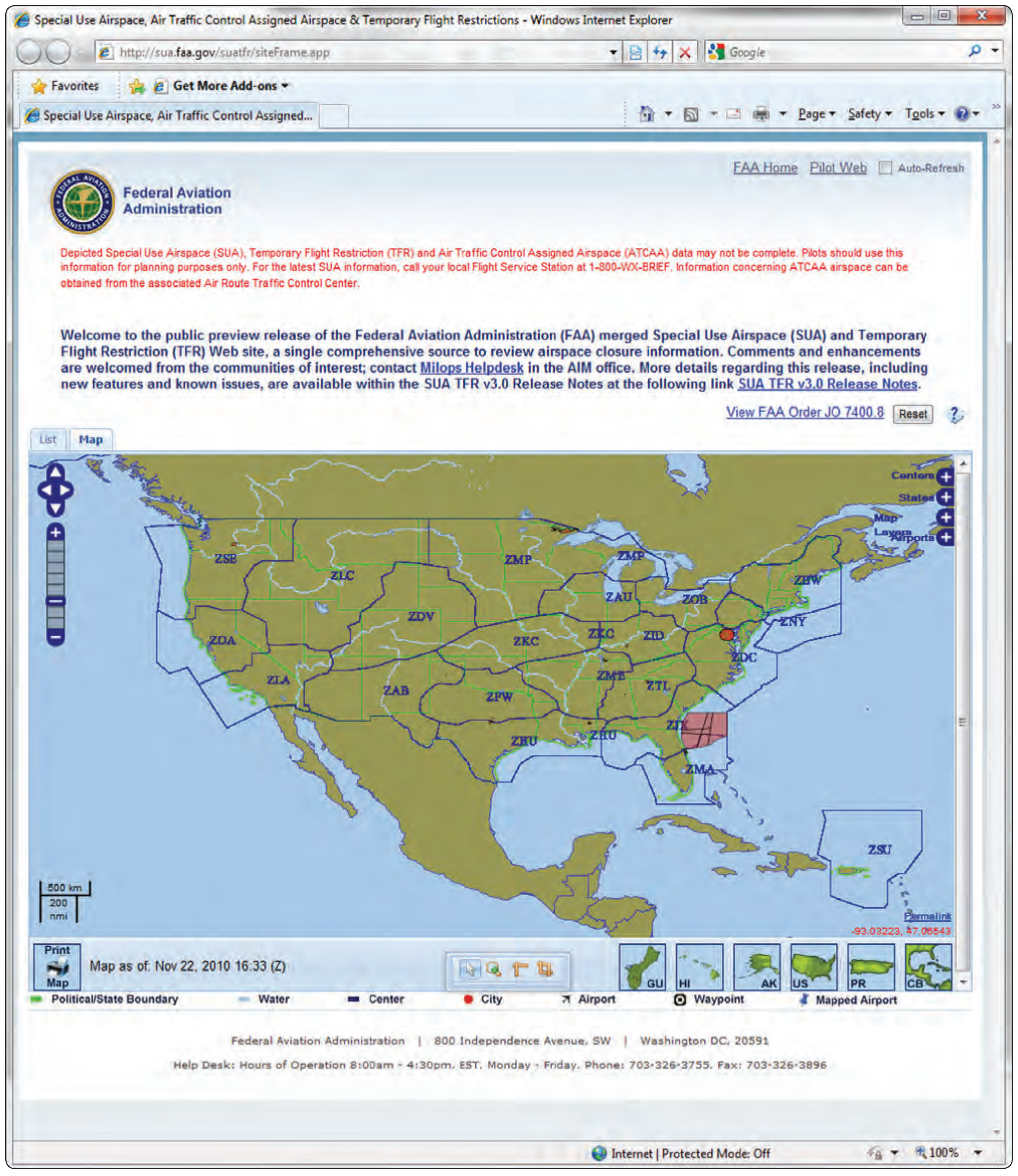
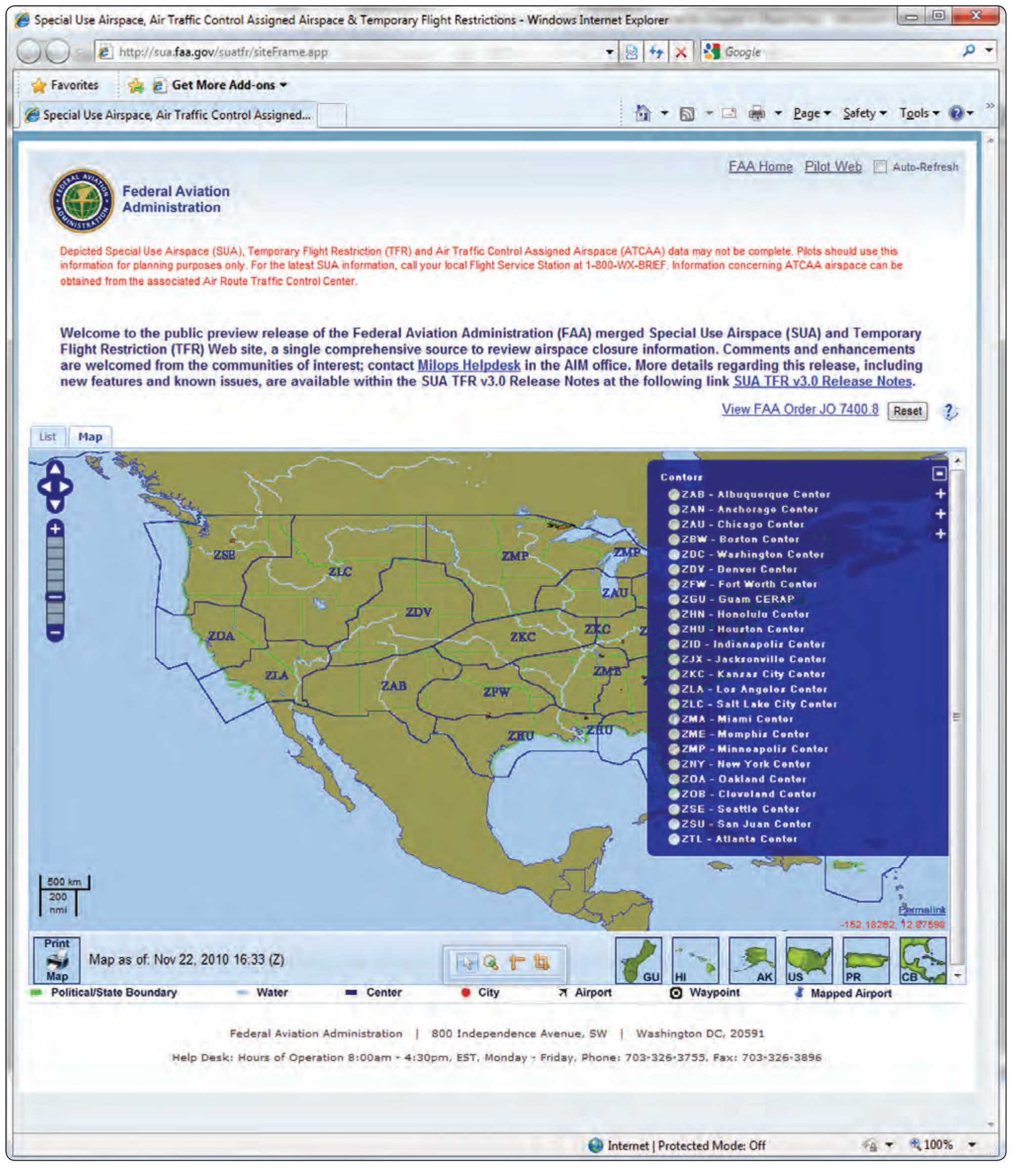
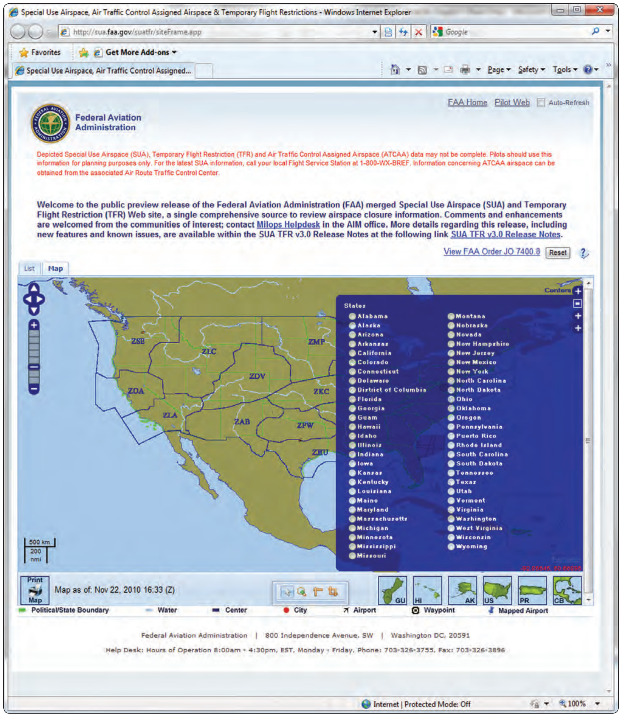
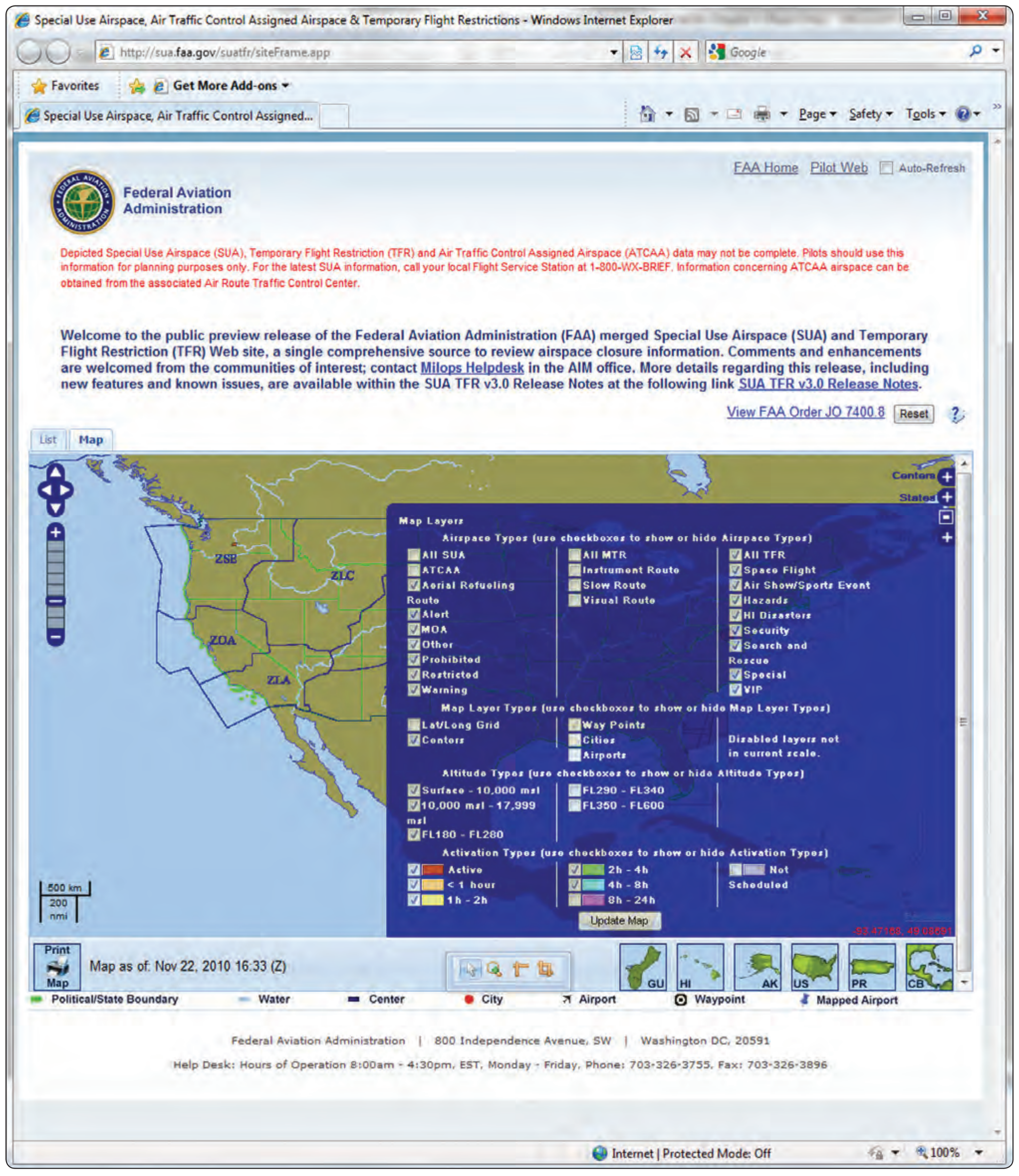
The website contains two tabbed pages, List and Map, that display the scheduling and Notice to Airmen (NOTAM) data for SUAs, military training routes (MTRs), and TFRs. [Figure 5-34] By default, the List tabbed page displays all airspace types, and the Map tabbed page displays all airspace types apart from MTRs and ATC Assigned Airspaces (ATCAAs). Both the List and Map tabbed pages can be filtered to display specific data for an airspace name, type, or group. Groups include SUA, MTR, or TFR. The Map tabbed page provides a graphical depiction of scheduled airspaces that may be customized using a fly-out menu of map display options. This tabbed page also contains look-up functionality that allows a user to locate one or more airports within the map. [Figures 5-35 through 5-38] Additional navigation features are included which allows the user to pan in any direction by dragging the cursor within the map. A permalink feature is also available that enables a user to bookmark a customized set of map layers that can easily be added to their Internet browser favorites list. Once a specific set of customized map layers has been bookmarked, a user may open that customized map display using the favorites option within their browser menu. The List tabbed page allows a user to view all SUA and MTR scheduling data and NOTAM text for a TFR. This text may be viewed for each NOTAM ID by expanding the NOTAM text section within the List grid or clicking the NOTAM ID to open a TFR Details page. The TFR Details page displays NOTAM text in a form layout for easy reading and includes a mapped image and sectional navigation map if available for the TFR.