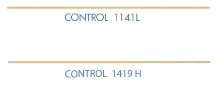
Additional Control Areas — CONTROL 1141L / CONTROL 1419H — source page 88.
LOW ALTITUDE
HIGH ALTITUDE
Foreign Airspace Note
Foreign Airspace Note — source page 88.
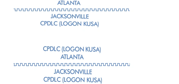
Foreign-airspace CPDLC boundary examples — Atlanta and Jacksonville — source page 88.
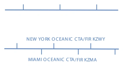
Enroute Chart Examples High Enroute Chart (Continued) Reference Number 3 Description Preferred Directional Jet Route with Time Restrictions, MAA and MEA Jet Route 149 available between 1100 - 0300Z MAA - 41,000’ MEA - 31,000’ AIRSPACE INFORMATION (Continued) AIRSPACE BOUNDARIES LOW / HIGH CHARTS Air Defense Identification Zone (ADIZ) CAN ADA ADIZ ALASKA ADIZ Adjoining ADIZ Air Traffic Service LOW / HIGH CHARTS Identification Data Ceiling Floor Call Sign Frequency Ceiling Floor Call Sign Frequency Flight Information Regions (FIR) LOW / HIGH CHARTS Upper Information Regions (UIR) Upper Control Areas (UTA) LOW / HIGH CHARTS Air Route Traffic Control Center (ARTCC) ARTCC Remoted Sites with discrete VHF and UHF frequencies Air Route Traffic Control Center (ARTCC) with Controller Pilot Data Link Communications (CPDLC) Altimeter Setting Change LOW / HIGH CHARTS Control Areas (CTA) Adjoining CTA Additional Control Areas LOW ALTITUDE HIGH ALTITUDE Foreign Airspace Note ARTCC Name Site Name Frequency MIAMI O C EANIC C TA/FIR KZMA NEW YO RK O CEAN IC CTA/FIR KZWY CONTROL 1419 H NOTE: Limited chart information provided outside U.S. airspace. Refer to DoD (NGA) or foreign charts and flight information publications outside U.S. airspace.
Source page 89
AIRSPACE INFORMATION (Continued)
Airspace - U.S.
Open Area (White)
That airspace from 18,000’ MSL to and including FL 600, including the airspace overflying the waters within 12 NM of the coast of the contiguous United States and Alaska and designated offshore areas, excluding Santa Barbara Island, Farallon Island, the airspace south of latitude 25° 04’00” N, the Alaska peninsula west of longitude 160°00’00” W, and the airspace less than 1,500’ AGL.
That airspace from 18,000’ MSL to and including FL 450, including Santa Barbara Island, Farallon Island, the Alaska peninsula west of longitude 160°00’00” W, and designated offshore areas.
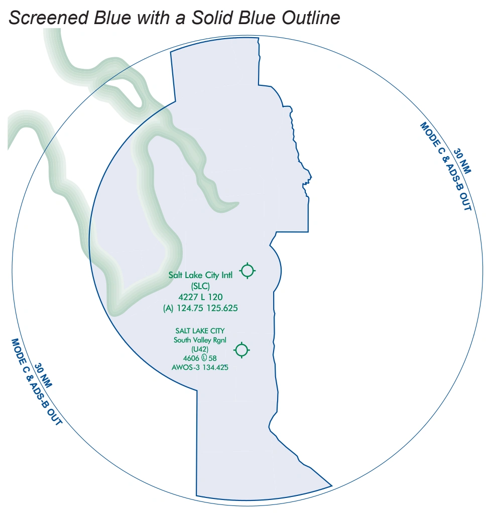
Class B schematic with Mode C / ADS-B Out 30-NM boundary — Salt Lake City — source page 89.
Cookie Preferences
We use cookies to operate this website, improve performance, understand site traffic, and personalize your experience. Essential cookies are always active because they are required for the website to function.
Required for basic site functionality and security.
Help us understand how visitors use the website so we can improve it.
May be used for advertising, remarketing, or social media features.
You can update your choices anytime using Cookie Settings. View Privacy Policy