IFR low- and high-altitude enroute chart legends, symbols, examples, and procedures.
AIRSPACE - U.S.
CLASS E
Open Area (White)
The controlled airspace below 14,500’ MSL that is not Class B, C or D.
Federal Airways from 1,200’ AGL to but not including 18,000’ MSL (unless otherwise specified).
Other designated control areas below 14,500’ MSL.
Not Charted
That airspace from 14,500’ MSL to but not including 18,000’ MSL, including the airspace overflying the waters within 12 NM of the coast of the contiguous United States and Alaska and designated offshore areas, excluding the Alaska peninsula west of longitude 160°00’00” W, and the airspace less than 1,500’ AGL.
Class G screened-brown-area swatch — source page 91.
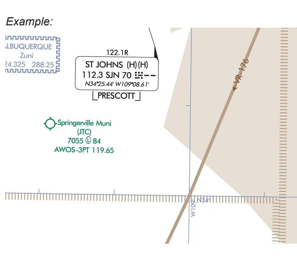
Class G low/high-chart example — Albuquerque ARTCC / St Johns / Springerville — source page 91.
Airspace Information (Continued) AIRSPACE - U.S. CLASS E Low Chart Only Controlled Airspace CLASS G High and Low Chart Uncontrolled Airspace Open Area (White) The controlled airspace below 14,500’ MSL that is not Class B, C or D. Federal Airways from 1,200’ AGL to but not including 18,000’ MSL (unless otherwise specified). Other designated control areas below 14,500’ MSL. Not Charted That airspace from 14,500’ MSL to but not including 18,000’ MSL, including the airspace overflying the waters within 12 NM of the coast of the contiguous United States and Alaska and designated offshore areas, excluding the Alaska peninsula west of longitude 160°00’00” W, and the airspace less than 1,500’ AGL. Screened Brown Area Low Altitude That portion of the airspace below 14,500’ MSL that has not been designated as Class B, C, D or E Airspace. High Altitude That portion of the airspace from 18,000’ MSL and above that has not been designated as Class A airspace. Example:
Source page 92
AIRSPACE INFORMATION (Continued)
Special Use Airspace - U.S.
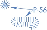
P-56 prohibited area — Washington, D.C., Area A-1 Chart example — source page 92.
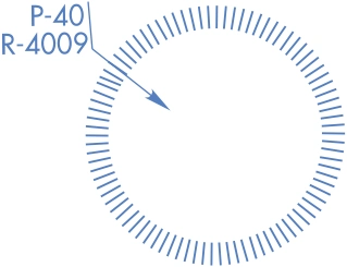
P-40 and R-4009 prohibited/restricted area — Washington, D.C., Area A-1 Chart example — source page 92.
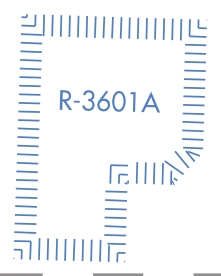
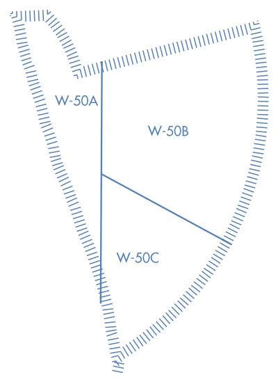
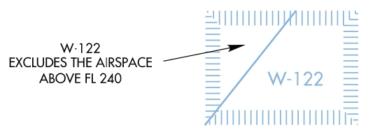
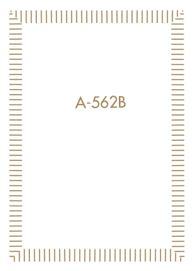
Special Use Airspace - U.S. — source page 92.
Special Use Airspace - U.S. — source page 92.
Special Use Airspace - U.S. — source page 92.
Special Use Airspace - U.S. — source page 92.
Cookie Preferences
We use cookies to operate this website, improve performance, understand site traffic, and personalize your experience. Essential cookies are always active because they are required for the website to function.
Required for basic site functionality and security.
Help us understand how visitors use the website so we can improve it.
May be used for advertising, remarketing, or social media features.
You can update your choices anytime using Cookie Settings. View Privacy Policy