Chapter 24
Observations
The terminal Doppler weather radar (TDWR) is a Doppler weather radar system operated by the FAA, which is used primarily for the detection of hazardous wind shear conditions, precipitation, and winds aloft on and near major airports situated in climates with great exposure to thunderstorms (see Figure 24-15).
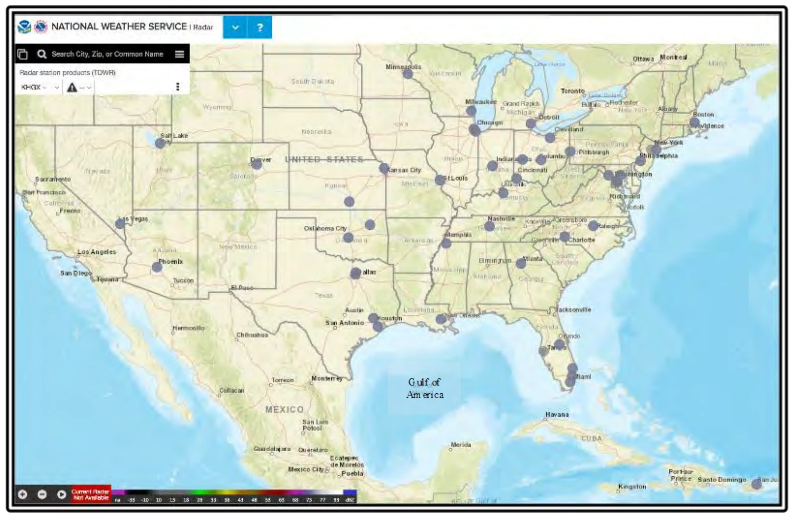
TWDR locations are indicated by gray circles.
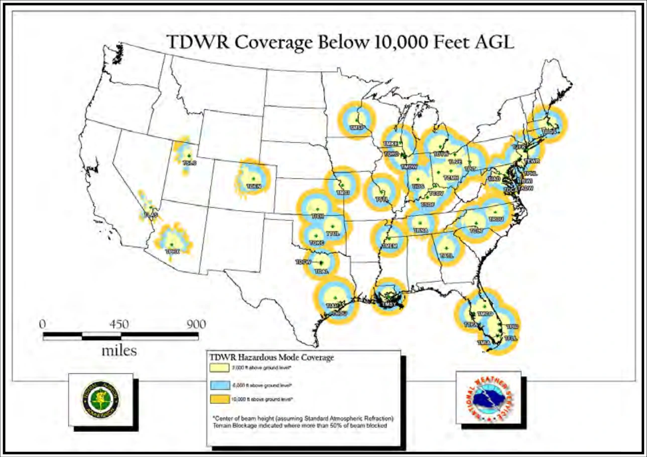
TDWR has long- and short-range scans as well as monitor and hazardous weather modes. Update times vary from around five minutes in monitor mode to one minute in hazardous weather mode. Select TDWR products are available on NWS radar websites.
24.7 Satellite Observations
24.7.1 Description
Satellite is perhaps the single most important source of weather data worldwide, particularly over data-sparse regions, such as countries without organized weather data collection and the oceans.
There are two kinds of weather satellite: geostationary and polar-orbiting. Geostationary satellites are located about 22,000 mi above the equator and orbit the Earth at a very fast speed that effectively makes them appear stationary. Polar-orbiting satellites orbit the Earth at a much lower altitude. Their track is such that the Earth rotates underneath the satellite as it orbits from the North Pole to the South Pole, then back to the North Pole.
The vast majority of weather satellite imagery for aviation comes from NOAA’s Geostationary Operational Environmental Satellites (GOES).
24.7.2 Imagery Types
Four types of satellite imagery are commonly used: GeoColor, visible, infrared (IR), and water vapor. Visible imagery is only useful during daylight hours. IR and water vapor imagery are useful day or night.
24.7.2.1 GeoColor Imagery
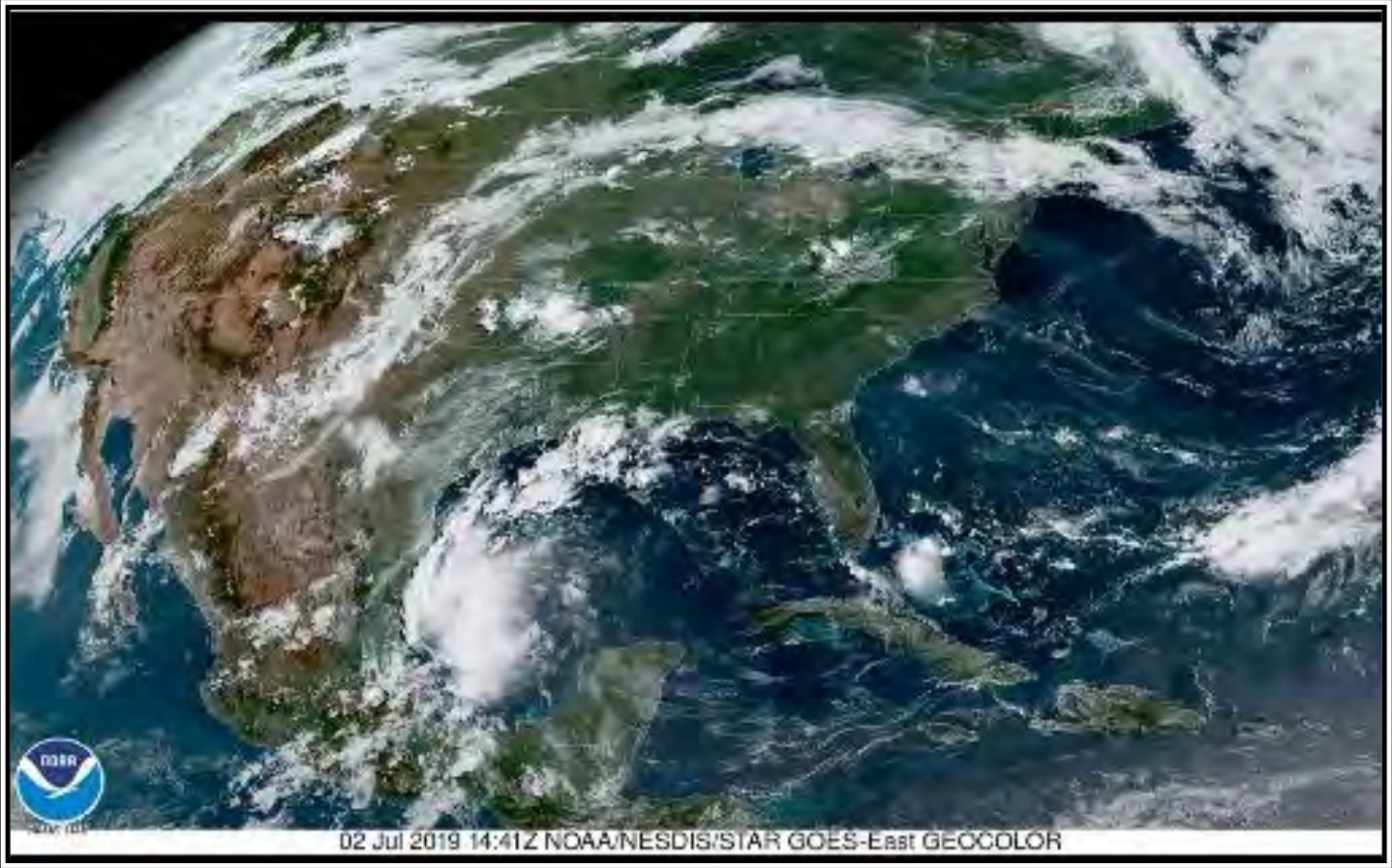
GeoColor imagery (see Figure 24-17) is a multispectral product composed of true color (using a simulated green component) during the daytime, and an IR product at night. During the day, the imagery looks approximately as it would appear when viewed with human eyes from space. At night, the blue colors represent liquid water clouds such as fog and stratus, while gray to white indicate higher ice clouds, and the city lights come from a static database.
24.7.2.2 Visible Imagery
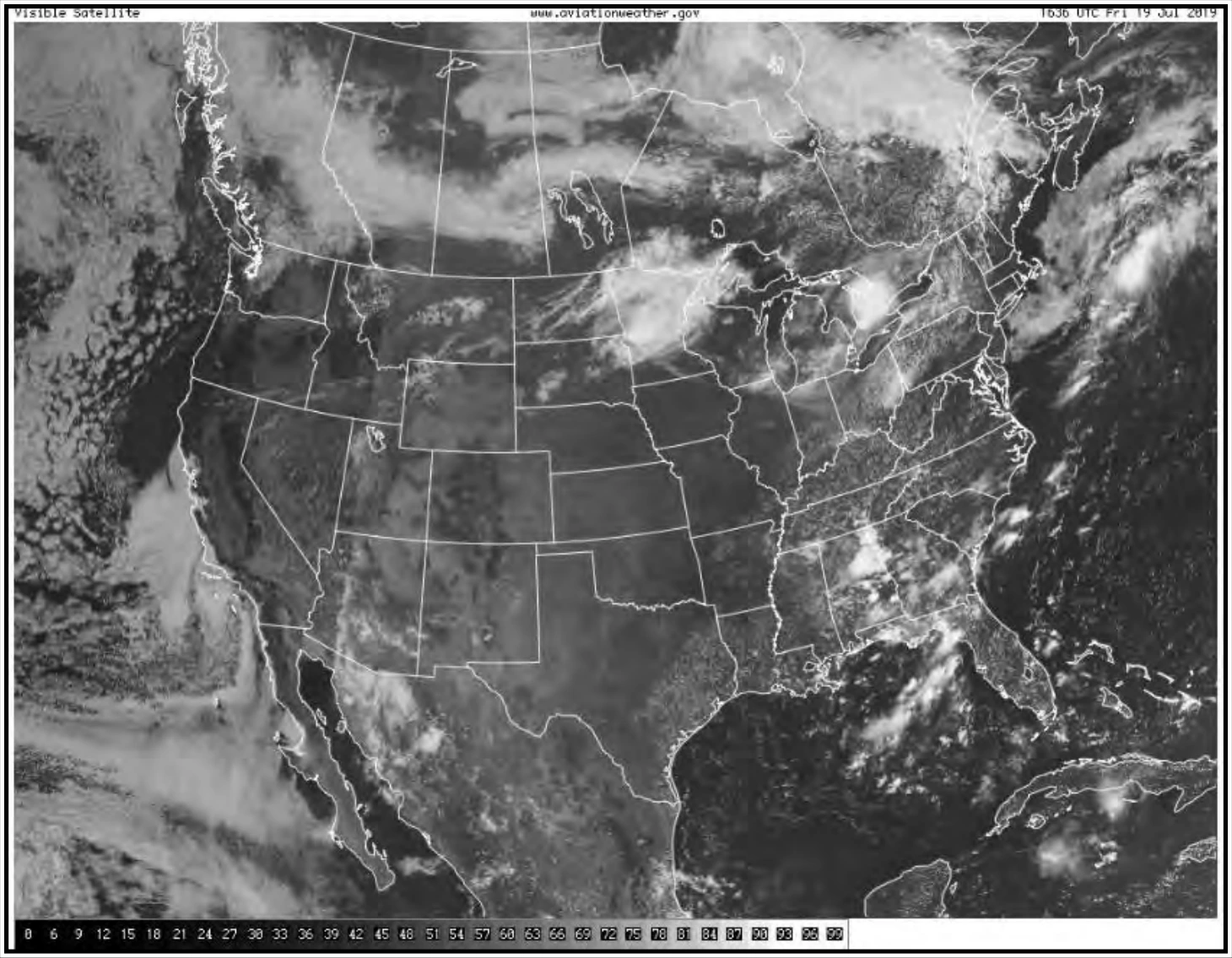
Visible imagery (see Figure 24-18) displays reflected sunlight from the Earth’s surface, clouds, and particulate matter in the atmosphere. Visible satellite images, which look like black and white photographs, are derived from the satellite signals. Clouds usually appear white, while land and water surfaces appear in shades of gray or black.
The visible channel senses reflected solar radiation. Clouds, the Earth’s atmosphere, and the Earth’s surface all absorb and reflect incoming solar radiation. Since visible imagery is produced by reflected sunlight (radiation), it is only useful during daylight.