
Chapter 27
Forecasts
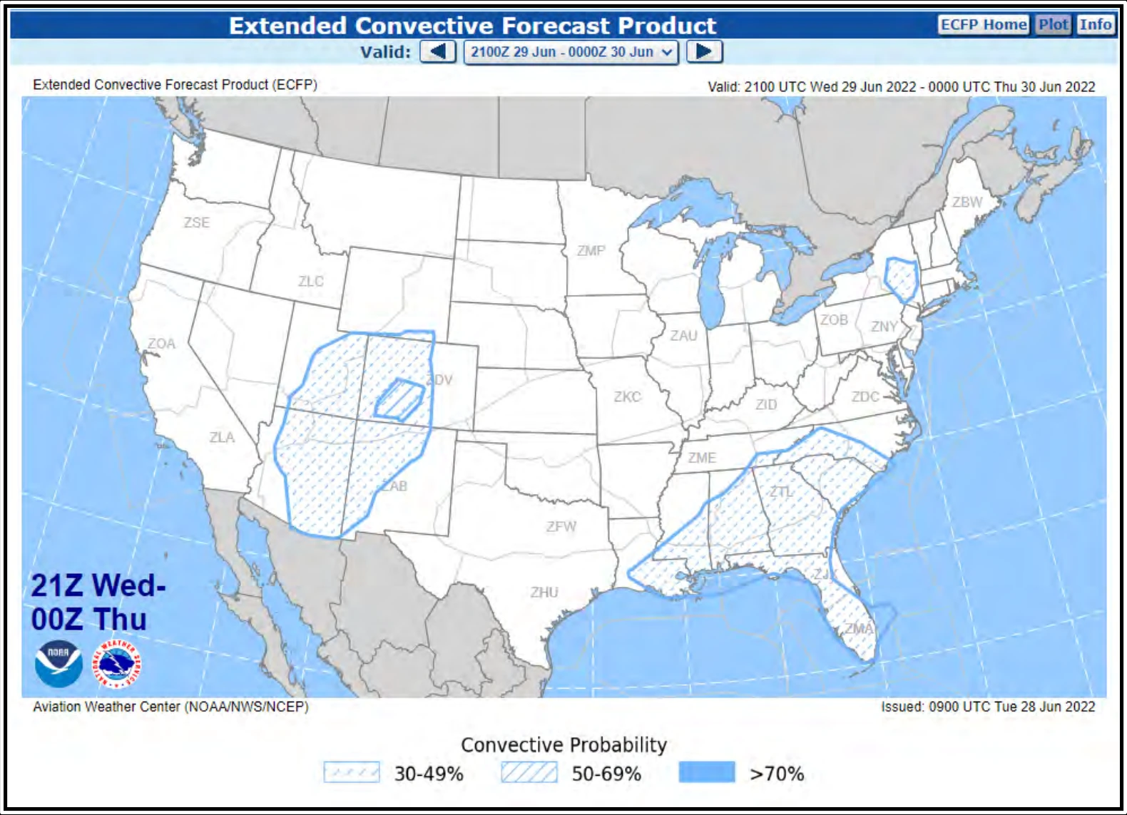
The development of the ECFP planning tool was a response to FAA and industry needs in planning for weather hazards, specifically convection, one to three days in advance. To meet these planning needs, the ECFP provides traffic planners and collaborators a quick look at where the probability of convection is greatest. By utilizing TCF-style graphics, users familiar with the TCF can easily determine where traffic constraints are most likely to occur over the next three days.
The ECFP is an automated forecast product issued by the AWC. It is issued four times a day at approximately 0100, 0700, 1300, and 1900 UTC.
27.17.4 Watch Notification Messages
The NWS SPC issues severe weather Watch Notification Messages to provide an area threat alert for the aviation meteorology community to forecast organized severe thunderstorms that may produce tornadoes, large hail, and/or convective damaging winds within the CONUS.
The SPC issues three types of Watch Notification Messages:
- Aviation Watch Notification Message (SAW),
- Public Severe Thunderstorm Watch Notification Message, and
- Public Tornado Watch Notification Message.
The SAW was formerly known as the Alert Severe Weather Watch Bulletin (AWW), as well as the Severe Weather Forecast Alert. The NWS no longer uses these titles or acronym for this product. The NWS uses the acronym SAW for the Aviation Watch Notification Message but retains “AWW” in the product header for processing by weather data systems. The NWS uses the acronym AWW for their Airport Weather Warning product, which is a completely different product from the SAW (see Section 27.17.4.1).
The Severe Thunderstorm and Tornado Watch Notification Messages were formerly known as the Severe Weather Watch Bulletins (WW). The NWS no longer uses that title or acronym for this product but retains “WW” in the product header for processing by weather data systems.
It is important to note the difference between a Severe Thunderstorm (or Tornado) Watch and a Severe Thunderstorm (or Tornado) Warning. A “watch” means severe weather is possible during the watch valid time, while a “warning” means that severe weather has been observed or is expected within the hour. Only the SPC issues Severe Thunderstorm and Tornado Watches, while only NWS WFOs issue Severe Thunderstorm and Tornado Warnings.
27.17.4.1 Aviation Watch Notification Message (SAW)
The SPC issues the SAW to provide an area threat alert for the aviation meteorology community to forecast organized severe thunderstorms that may produce tornadoes, large hail, and/or convective damaging winds as indicated in Public Watch Notification Messages.
The SAW product is an approximation of the area in a watch. For the official area covered by a watch, see the corresponding Public Watch product. To illustrate, Figure 27-32 is an example of the Aviation Watch (polygon) compared to the Public Watch (shaded). Also, the SAW is easier to communicate verbally over the radio and telephone than reciting the entire Public Watch product.
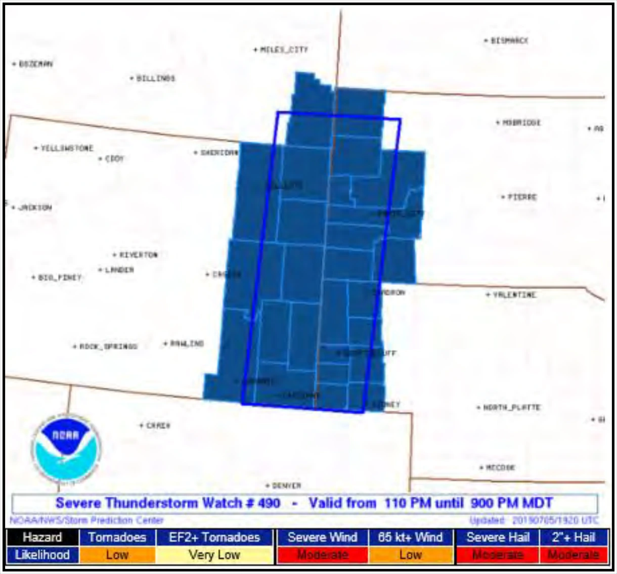
The SPC will issue the SAW after the proposed convective watch area has been collaborated with the impacted NWS WFOs defining the approximate areal outline of the watch.
SAWs are nonscheduled, event-driven products valid from the time of issuance to expiration or cancellation time. Valid times are in UTC. SPC will correct watches for formatting and grammatical errors.
When tornadoes or severe thunderstorms have developed, the local NWS WFO will issue the warnings for the storms.
27.17.4.1.1 Format and Example of a SAW
SPC forecasters may define the area as a rectangle or parallelogram (X miles either side of the line from point A to point B, or X miles north and south or east and west of the line from point A to point B). Distances of the axis coordinates should be in statute miles. The aviation coordinates referencing VOR locations and state distances will be in nautical miles. Valid times will be in UTC. The watch half width will be in statute miles. The SAW will contain hail size in inches or half inches (forecaster discretion for tornado watches associated with hurricanes) surface and aloft, surface convective wind gusts in knots, maximum cloud tops and the Mean Storm Motion Vector, and replacement information, if necessary.
WWUS30 KWNS 271559
SAW2
SPC AWW 271559
WW 568 TORNADO AR LA MS 271605Z - 280000Z
AXIS..65 STATUTE MILES EAST AND WEST OF LINE..
45ESE HEZ/NATCHEZ MS/ - 50N TUP/TUPELO MS/
..AVIATION COORDS.. 55NM E/W /18WNW MCB - 60E MEM/
HAIL SURFACE AND ALOFT..3 INCHES. WIND GUSTS..70 KNOTS. MAX TOPS TO 550. MEAN
STORM MOTION VECTOR 26030.
LAT...LON 31369169 34998991 34998762 31368948
THIS IS AN APPROXIMATION TO THE WATCH AREA. FOR A
COMPLETE DEPICTION OF THE WATCH SEE WOUS64 KWNS
FOR WOU2.